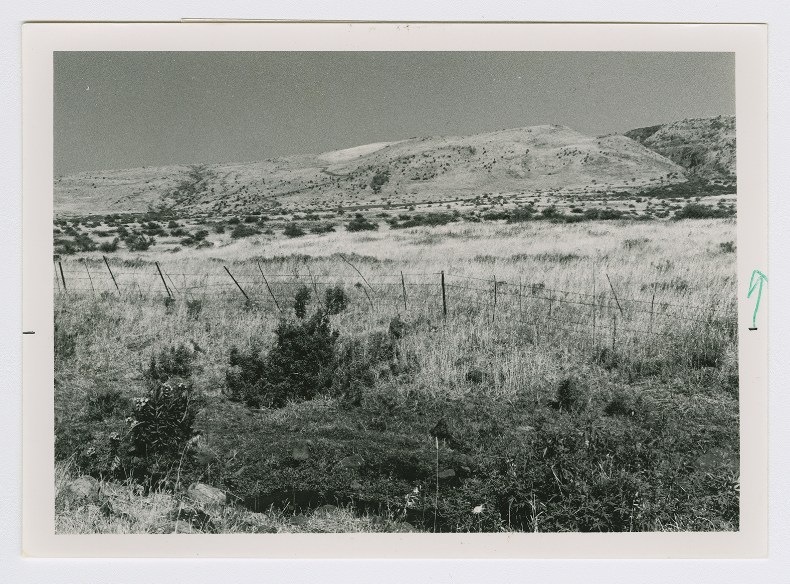
Al-Hamra was located in the southern portion of the Baysan Valley. It overlooked the Jordan River, some 8 km to the east. The Baysan-Jericho highway passed through the western part of the village land. The village was named after the al-Hamra clan, a branch of a Bedouin tribe known as the al-Suqur ('the falcons'). The first known reference to the village dates to the year 1281, when the Mamluk sultan Qalawun (1279-90) passed by the village on his way from Syria to Egypt. ![[Ibn al-Furat, cited in D 6/2:500]](/sites/default/files/Ref_1.JPG) The aI-Hamra Bedouin settled in this village many centuries ago, attracted by its fertile land and abundant water supplies. The widely-scattered houses of aI-Hamra were either permanent adobe structures or camel-hair tents. The main agricultural products were grain, oranges, olives, and vegetables. In 1944/45 a total of 8,427 dunums was planted in cereals. Archaeological sites east of the village, such as the tells of al-Shuqaf and Abu Kharaj, dated back to the Canaanites.
The aI-Hamra Bedouin settled in this village many centuries ago, attracted by its fertile land and abundant water supplies. The widely-scattered houses of aI-Hamra were either permanent adobe structures or camel-hair tents. The main agricultural products were grain, oranges, olives, and vegetables. In 1944/45 a total of 8,427 dunums was planted in cereals. Archaeological sites east of the village, such as the tells of al-Shuqaf and Abu Kharaj, dated back to the Canaanites.
The aI-Hamra Bedouin settled in this village many centuries ago, attracted by its fertile land and abundant water supplies. The widely-scattered houses of aI-Hamra were either permanent adobe structures or camel-hair tents. The main agricultural products were grain, oranges, olives, and vegetables. In 1944/45 a total of 8,427 dunums was planted in cereals. Archaeological sites east of the village, such as the tells of al-Shuqaf and Abu Kharaj, dated back to the Canaanites.

