| Year | Arab | Total |
|---|---|---|
| 1931 | 136 | 136 |
| 1944/45 * | 200 | 200 |
| Year | Arab | Public | Total |
|---|---|---|---|
| 1944/45 * | 2009 | 123 | 2132 |
| Use | Arab | Public | Total | ||||||||||||
|---|---|---|---|---|---|---|---|---|---|---|---|---|---|---|---|
*includes Mughr al-Shab'an **includes Mughr al-Shab'an |
24 | 123 | 147 (7%) | ||||||||||||
*includes Mughr al-Shab'an **includes Mughr al-Shab'an |
1985 | 1985 (93%) |
The village stood on gently sloping hills in the northeast part of the al-Hula Plain, to the southwest of Tall aI-Qadi. It was linked by a paved road to the nearby Jewish settlements of Dan and Dafna; the road led west to al-Khalisa, a village on the highway that led to Safad. Al-Shawka al-Tahta had a semicircular layout and its houses were clustered closely together. Its entire population was Muslim. A thick growth of natural vegetation flourished on the village's northern side, thanks to a plentiful water supply provided by the perennial stream that flowed from Tall aI-Qadi. Agriculture was both rainfed and irrigated from a number of springs; crops consisted mainly of grain and fruits. In 1944/45 a total of 140 dunums was allocated to cereals; 1,845 dunums were irrigated or used for orchards. Archaeological sites near al-Shawka al-Tahta include Tall aI-Qadi (211294), to the northeast, and Khirbat al-Day'a (210293) to the south.
Israeli sources report that the villagers of al-Shawka al-Tahta feared a Zionist attack and fled on 14 May 1948; the sub-disctrict capital, Safad, had been captured a few days earlier, which would have contributed to the villagers' panic. Safad had been captured during Operation Yiftach (see Abil al-Qamh, Safad sub-disctrict), which aimed at occupying the eastern Galilee and uprooting its residents.
Two Zionist settlements are very close to the village site. Dan (211293), founded in 1939, is 2 km to the east, and Dafna (210292), also established in 1939, is 1 km to the southeast. Neither settlement is on village land
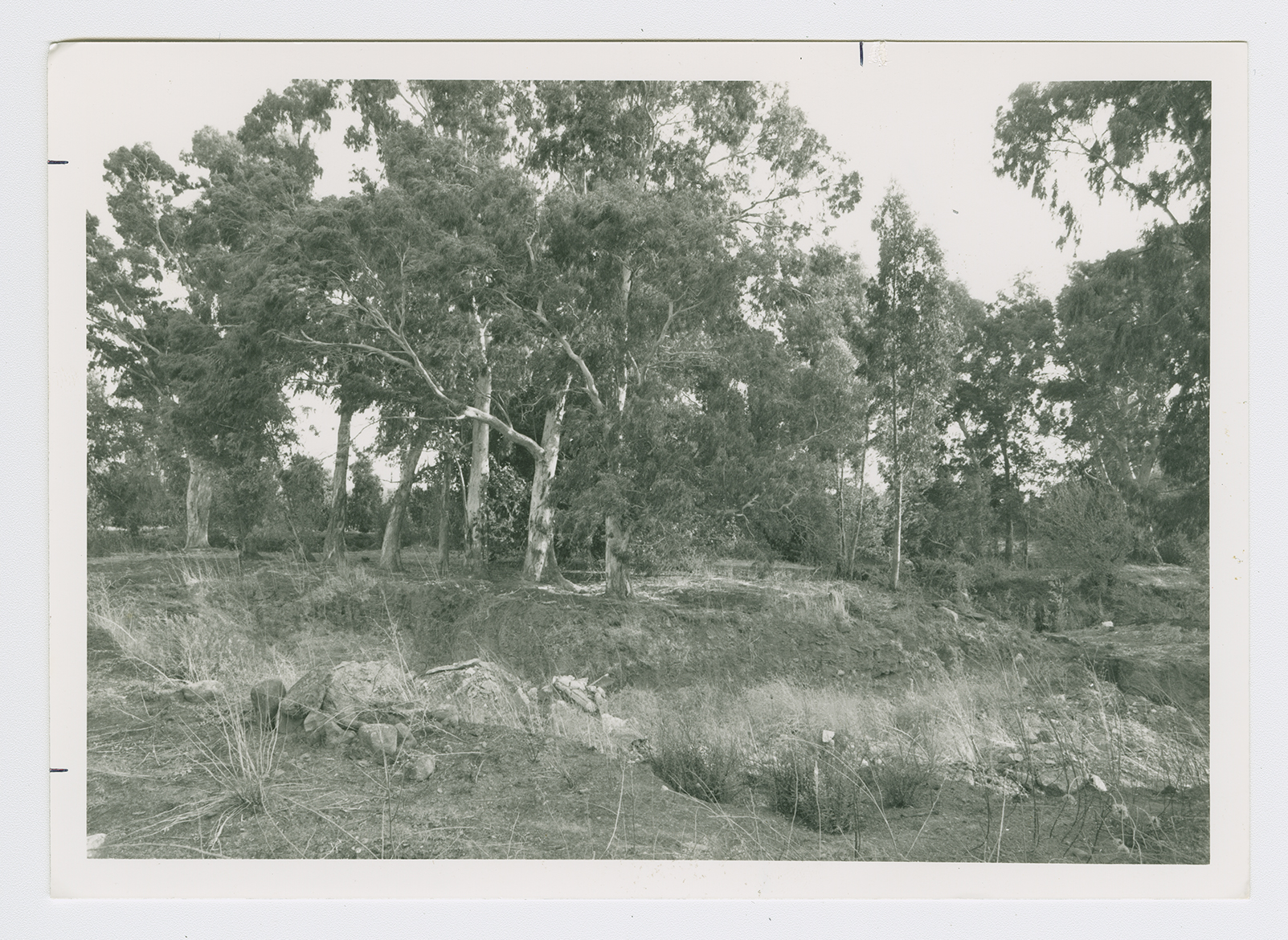
Nothing remains of al-Shawka al-Tahta. Stone rubble from destroyed houses is for the most part hidden under eucalyptus trees and wild grasses. A few cactuses grow on the site. The surrounding lands are used by Israelis both for farming and as pasture.

