| Year | Arab | Jews | Total |
|---|---|---|---|
| 1931 | 182 | ||
| 1944/45 | 150 | 180 | 330 |
| Year | Arab | Jewish | Public | Total |
|---|---|---|---|---|
| 1944/45 * | 700 | 1362 | 218 | 2280 |
| Use | Arab | Jewish | Public | Total | |||||||||||||||
|---|---|---|---|---|---|---|---|---|---|---|---|---|---|---|---|---|---|---|---|
*includes Sde Eliyyahu **includes Sde Eliyyahu |
100 | 189 | 218 | 507 (22%) | |||||||||||||||
*includes Sde Eliyyahu |
600 | 1173 | 1773 (78%) |
The village was located in a wide, flat area from which the highlands on the east side of the Jordan could be seen. A broad wadi ran in an east-west direction along its northern perimeter. It was on the eastern side of a highway that led to Baysan in the north and Jericho in the south, and was linked to this highway by a secondary road. A number of springs in the village and on its outskirts provided the residents with water for domestic use and irrigation. Part of the village land was covered with ullayq (a kind of blackberry) bushes. The villagers, originally members of Bedouin tribes who had gradually settled in the area, relied on the cultivation of grain and on livestock breeding for their livelihood. They also planted vegetables on the banks of small streams that were fed by springs. In 1944/45 they allocated a total of 600 dunums of their land to cereals. Two archaeological sites lay to the south of the village: Tall al-Ru'yan and Tall al-Qurud; the latter was notable for the late Islamic pottery that was found on its surface.
The settlement of Sde Eliyyahu, established in 1939, is east of the village site on village lands.
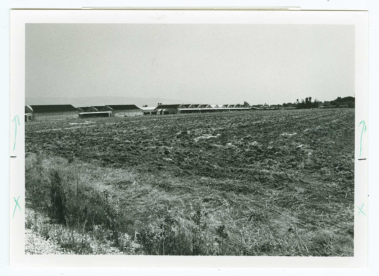
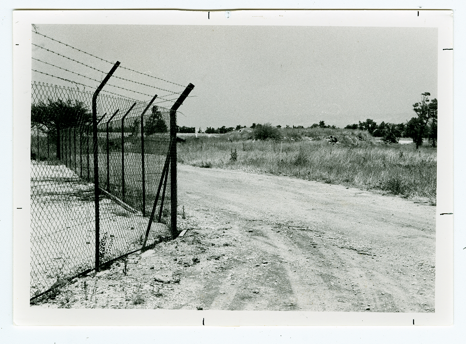
No traces are left of the village. The whole village site is planted in wheat. The archaeological site, Tall al-Ru'yan, has been transformed into a garbage dump.


