| Year | Arab | Total |
|---|---|---|
| 1931 * | 572 | |
| 1944/45 | 120 | 120 |
| Year | Arab | Jewish | Public | Total |
|---|---|---|---|---|
| 1944/45 | 1070 | 3487 | 5274 | 9831 |
| Use | Arab | Jewish | Public | Total | ||||||||||||||||||||
|---|---|---|---|---|---|---|---|---|---|---|---|---|---|---|---|---|---|---|---|---|---|---|---|---|
|
47 | 422 | 1965 | 2434 (25%) | ||||||||||||||||||||
|
1023 | 3065 | 3309 | 7397 (75%) |
The village was situated on the coastal plain, at the foot of the western slopes of Mount Carmel, just east of the coastal highway. Its name was probably a plural of kubri, a loanword from the Turkish word for bridge (köprü), and referred to the numerous bridges built across the nearby al-Zarqa River. Kabara has been identified with the Crusader locality of Pain Perdu. The population was Muslim. The village's economy depended on agriculture and animal husbandry. In 1944/45 only 2 dunums of land were devoted to citrus and bananas, while 1,001 dunums were allotted to cereals; 20 dunums were irrigated or used for orchards. Above the village (on the slopes of Mount Carmel) and to the east of it lay a cave known as Mugharat al-Kabara , an important prehistoric site discovered in 1929 and excavated by several teams, most recently (1982) by a French-Israeli team. The cave contained a deep Middle Palaeolithic deposit that was covered by a Natufian layer dating to about the ninth millenium B.C.
No information could be found about the occupation of this village. It was probably occupied during the second campaign to 'clear' the northern coastal plain of all Arab communities between Tel Aviv and the settlement of Zikhron Ya'aqov, south of Haifa. This would suggest that it was captured either in April or the first half of May 1948. However, it may have held out until late May, like the nearby village of al-Tantura.
The settlement of Ma'yan Tzevi, founded in 1938, is on village lands to the north of the site. Two other settlements, Ma'agan Mikha'el and Beyt Chananya , were built on village lands in 1949 and 1950, respectively, after the village had been depopulated.
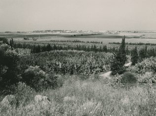
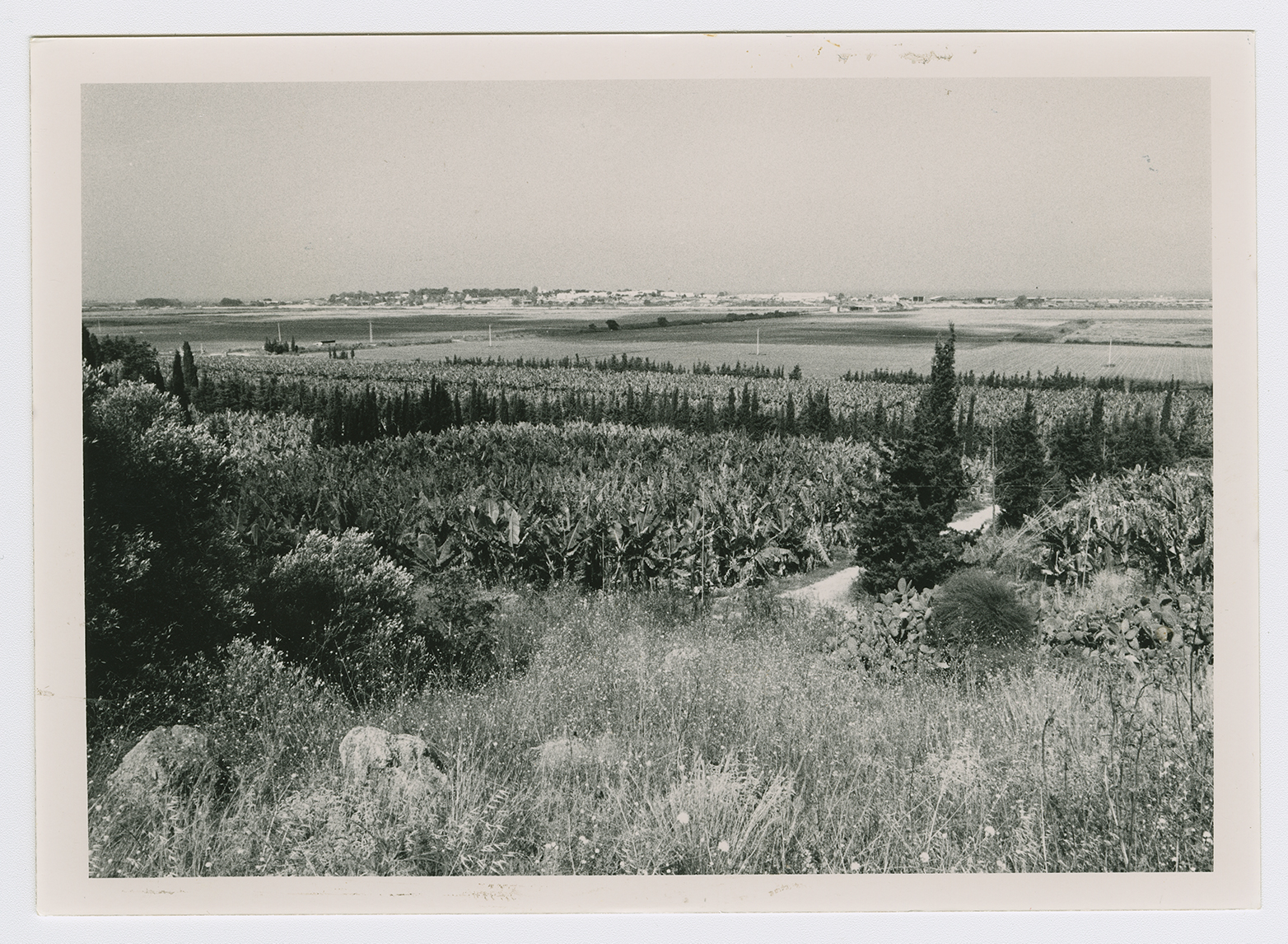
The rubble from the village houses has been moved up the slope where it is now visible, covered with dirt. Cactuses and banana trees, as well as isolated fig, carob, and olive trees, grow on the site.

