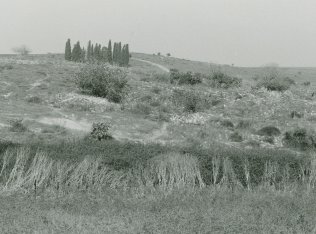
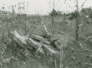
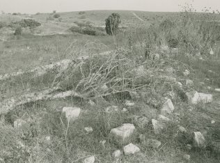
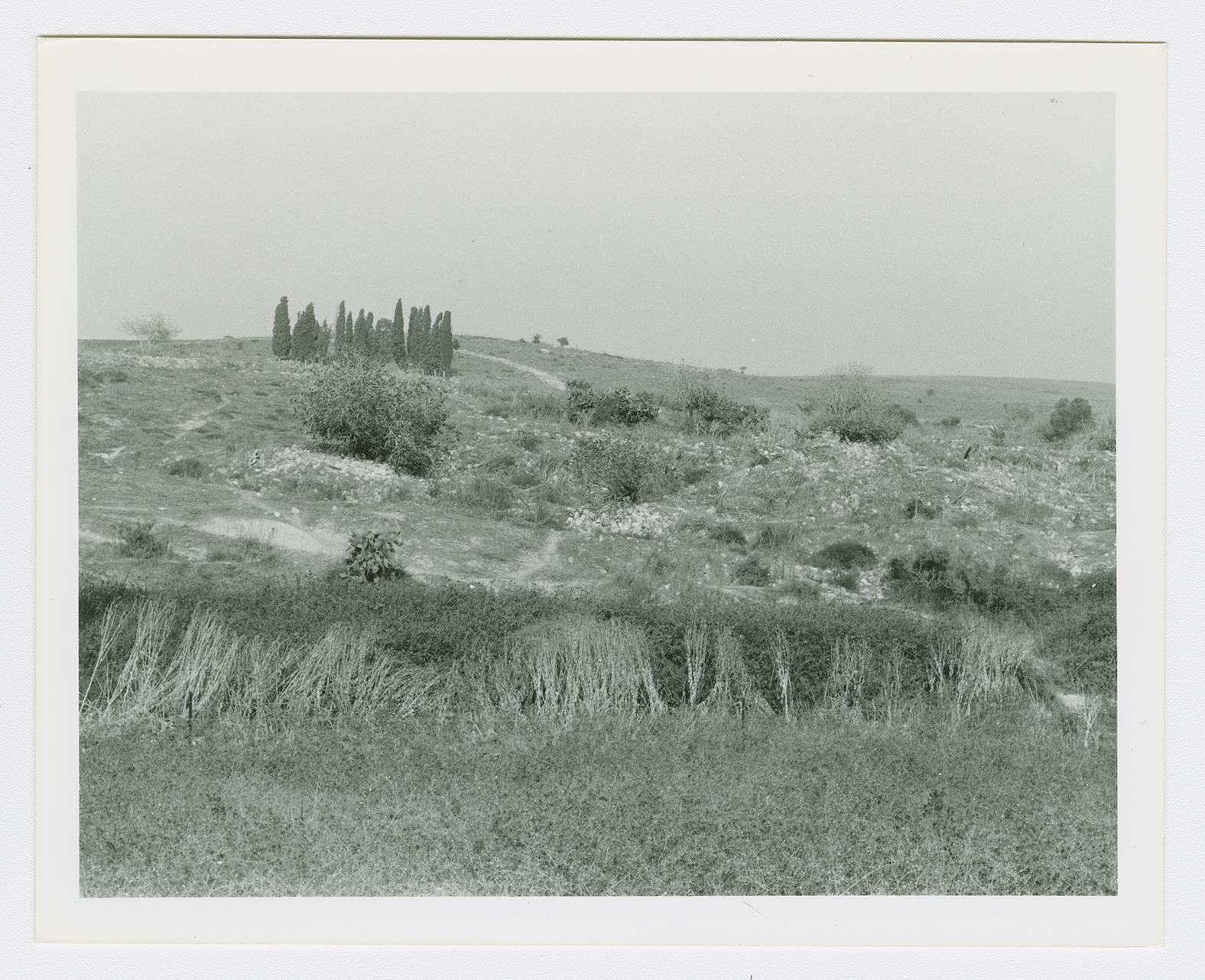
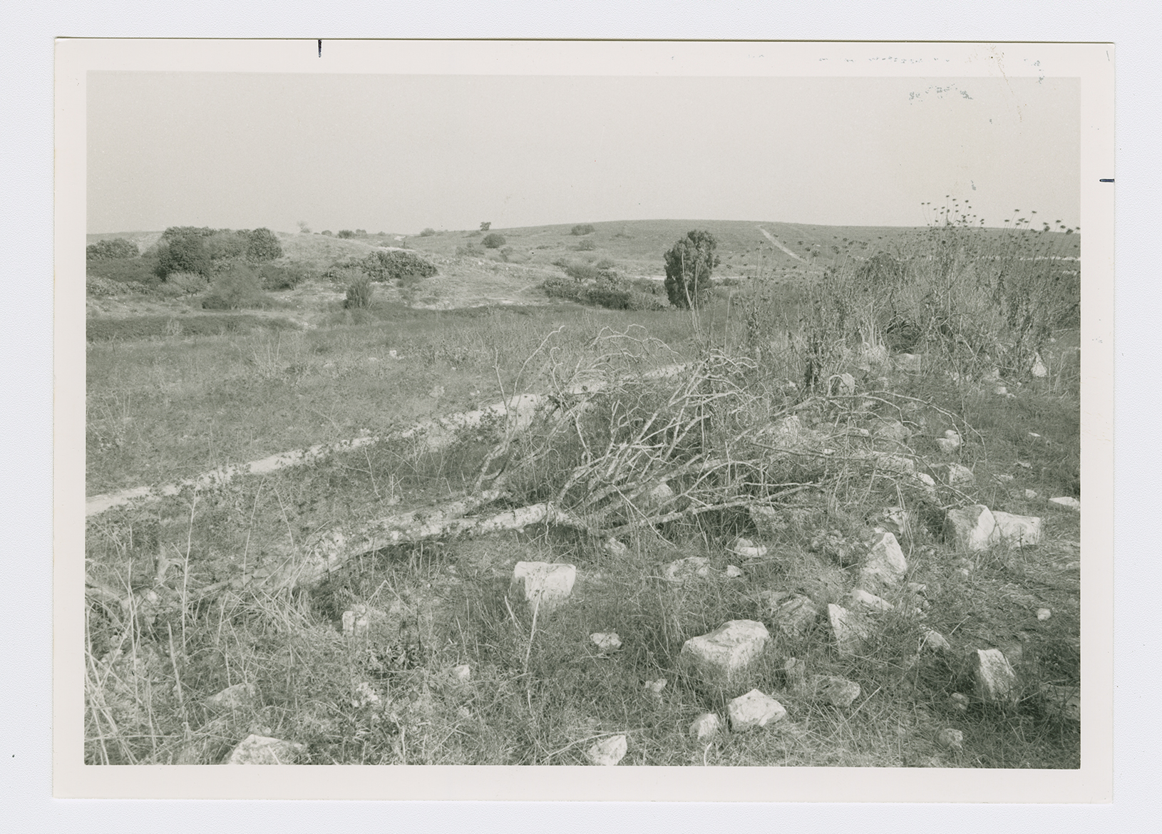
The village was situated on the banks of Wadi al-Tin, which cut through the village in a north-south direction. Secondary roads linked it to the Haifa-Jenin highway and the coastal highway. The Crusaders called it Sabbarim or Sabarim. In the late nineteenth century, the village of Sabbarin was situated on a slope and built of stone and mud. A large masonry well-said to be the head of the Caesarea aqueduct-was located near the village. An estimated 600 people lived in the village, which was described as 'large,' and cultivated 55 faddans (1 faddan = 100-250 dunums). ![[SWP (1881) II:43]](/sites/default/files/Ref_1.JPG) In modern times its population consisted of 1,670 Muslims and 30 Christians. The village had a boys' elementary school, as well as numerous wadis and springs that provided water. The villagers were engaged primarily in agriculture and animal husbandry, growing grain, vegetables, and olives. In 1944/45 a total of 12,773 dunums was allotted to cereals; 45 dunums were irrigated or used for orchards. A large masonry shaft west of the village, which has been identified as the head of the Caesarea High Level Roman aqueduct, drew water from springs near Sabbarin. Published archaeological surveys have provided minimum evidence of the antiquity of the village.
In modern times its population consisted of 1,670 Muslims and 30 Christians. The village had a boys' elementary school, as well as numerous wadis and springs that provided water. The villagers were engaged primarily in agriculture and animal husbandry, growing grain, vegetables, and olives. In 1944/45 a total of 12,773 dunums was allotted to cereals; 45 dunums were irrigated or used for orchards. A large masonry shaft west of the village, which has been identified as the head of the Caesarea High Level Roman aqueduct, drew water from springs near Sabbarin. Published archaeological surveys have provided minimum evidence of the antiquity of the village.
In modern times its population consisted of 1,670 Muslims and 30 Christians. The village had a boys' elementary school, as well as numerous wadis and springs that provided water. The villagers were engaged primarily in agriculture and animal husbandry, growing grain, vegetables, and olives. In 1944/45 a total of 12,773 dunums was allotted to cereals; 45 dunums were irrigated or used for orchards. A large masonry shaft west of the village, which has been identified as the head of the Caesarea High Level Roman aqueduct, drew water from springs near Sabbarin. Published archaeological surveys have provided minimum evidence of the antiquity of the village.
