| Year | Arab | Total |
|---|---|---|
| 1931 | 1154 | |
| 1944/45 | 1930 | 1930 |
| Year | Arab | Jewish | Public | Total |
|---|---|---|---|---|
| 1944/45 | 11456 | 3545 | 971 | 15972 |
| Use | Arab | Jewish | Public | Total | ||||||||||||||||||||
|---|---|---|---|---|---|---|---|---|---|---|---|---|---|---|---|---|---|---|---|---|---|---|---|---|
|
473 | 34 | 951 | 1458 (9%) | ||||||||||||||||||||
|
10983 | 3511 | 20 | 14514 (91%) |
The village was situated on a sandstone hill on the central coastal plain, about 2.5 km from the seashore and 800 m north of the al-'Awja River. It seems to have been named after a local religious figure, al-Shaykh Muwannis, whose tomb/shrine (maqam) was in the village. According to Mandate records, its population was Muslim. Its layout was square. The villagers initially built their houses with adobe brick but then, as their incomes from citrus exports rose, they built stone and cement houses. Al-Shaykh Muwannis had two elementary schools, one for boys and another for girls. The boys' school was opened in 1932 and the girls' in 1943. Enrollment totaled 232 boys in 1941 and 56 girls in 1943. The boys' school acquired 36 dunums and an artesian well and served as an agricultural and vocational training center. The people of al-Shaykh Muwannis worked in agriculture, particularly citrus cultivation and related occupations. In 1944/45 a total of 3,749 dunums was devoted to citrus and bananas and 7,165 dunums were allotted to cereals; 69 dunums were irrigated or used for orchards. Irrigation water was drawn from the al-'Awja River and a large number of artesian wells.
AI-Shaykh Muwannis was taken by Zionist forces before the end of the British Mandate on 15 May 1948. Palestinian historian 'Arif al-'Arif indicates that by this time, Zionist forces were in control of the whole coastal area between Haifa and Tel Aviv. Both al-Shaykh Muwannis and the nearby village of Abu Kishk were located just beyond the borders of Tel Aviv and were targeted for attack early in the war. Israeli historian Benny Morris writes that '[the final evacuation of the area just north of Tel Aviv was prompted in large measure by IZL [Irgun Zvai Leumi] actions….' An earlier agreement between the villagers of al-Shaykh Muwannis and the Haganah to observe a truce in the area did not deter the IZL from striking at the community leaders. The IZL infiltrated into the village at the end of March 1948 and kidnapped five of the village leaders. The attack prompted a large flight of people from the surrounding coastal area (presumably including al-Shaykh Muwannis).
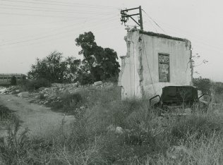
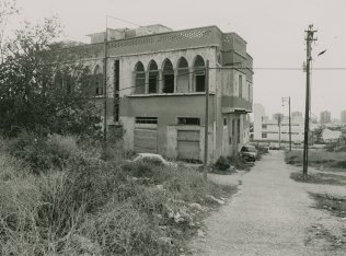
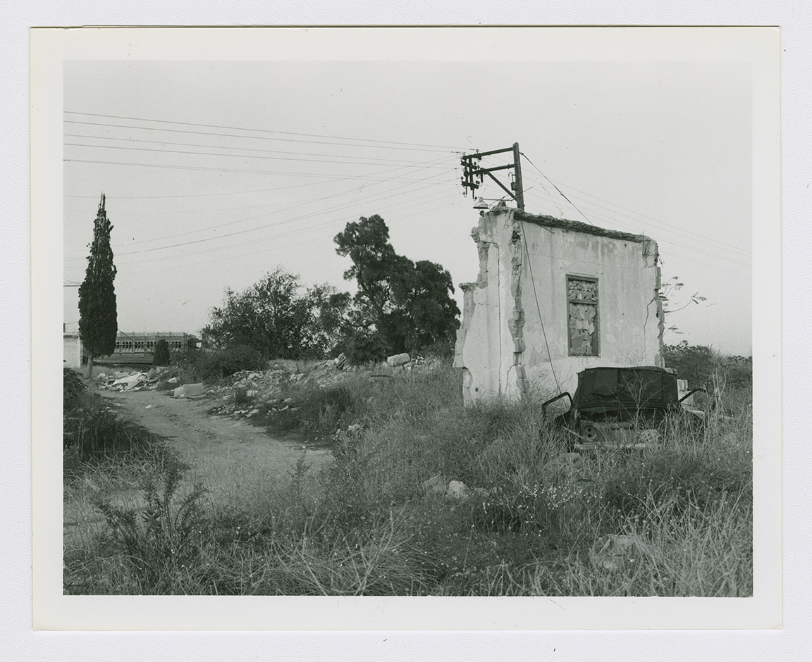
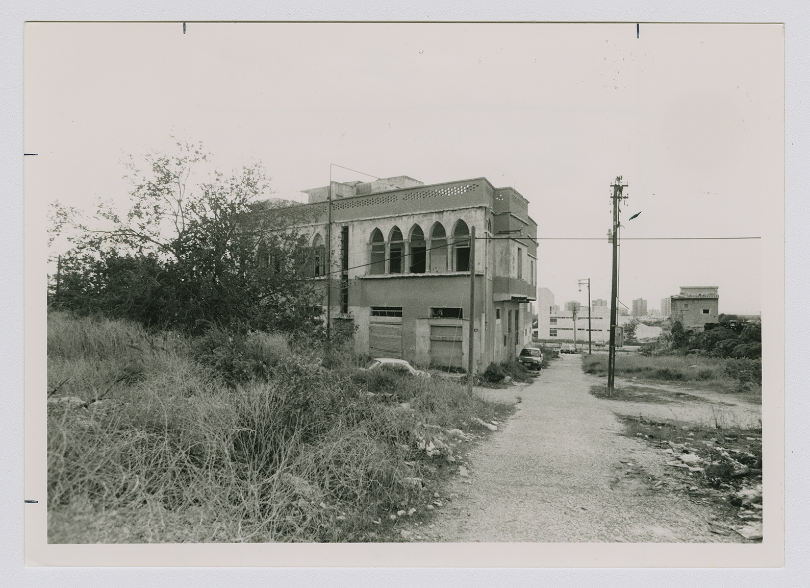
A number of houses, exhibiting a variety of architectural features, remain; they are occupied by Jewish families. One of them is a two-storey house with a one-storey annex; it is made of cement and has rectangular doors and windows and flat roofs. Another is a two-storey, two-unit, symmetrical house with two front porches on the top floor. Each porch is defined by five lancet arches. A single wall of another house stands alone, topped by a post that supports an electric wire (see photo). The site is littered with the debris of fallen houses and is overgrown with weeds and tall wild grasses. The cemetery is unkempt and fenced in. The surrounding land, which has been incorporated within the municipal area of Tel Aviv, is in part cultivated but mostly has been covered over by buildings and construction sites. Tel Aviv University is located on this land.


