| Year | Arab | Total |
|---|---|---|
| 1931 | 256 | 256 |
| 1944/45 | 350 | 350 |
| Year | Arab | Public | Total |
|---|---|---|---|
| 1944/45 | 6771 | 2 | 6773 |
| Use | Arab | Public | Total | ||||||||||||
|---|---|---|---|---|---|---|---|---|---|---|---|---|---|---|---|
|
2919 | 2 | 2921 (43%) | ||||||||||||
|
3852 | 3852 (57%) |
The village was situated on a slope near the southwestern edge of the city of Safad, and a number of roads linked it to Safad. It overlooked several wadis and faced Mount Jarmaq. It was in the basin that fed the upper portion of Wadi al-Laymun (the Lemon Valley) and was richly endowed with springs and wells. The first part of its name, al-Zahiriyya, may have been given to it as a tribute to the Mamluk sultan al-Zahir Baybars (1233–1277). The second part, al-Tahta, meant 'lower' in Arabic and distinguished it from the adjacent village of al-Zahiriyya al-Fawqa ('upper'). In 1596, al-Zahiriyya al-Tahta was a village in the nahiya of Jira (liwa' of Safad) with a population of 308. It paid taxes on produce and property, such as pasturelands, goats, beehives, and a press that was used for processing either olives or grapes. In the late nineteenth century, al-Zahiriyya al-Tahta was a stone-built village, situated at the foot of a hill. It was surrounded by olive trees and arable land, and had a population of about 100.
In modern times, al-Zahiriyya al-Tahta had an elongated outline and its houses were tightly clustered together. Because expansion to the west was blocked by the cliffs along Wadi al-Laymun, newer houses were built northwest of the older ones. The residents were predominantly Muslim. Children attended school in Safad. Members of the al-Kharabina Bedouin tribe customarily established their dry-season camp sites west of the village. AI-Zahiriyya al-Tahta had a number of olive presses. Olive trees occupied 145 dunums, mostly on the eastern lands and between the village and the southern boundaries of Safad. In 1944 a total of 3,042 dunums was allotted to cereals and 810 dunums were irrigated or used for orchards.
The village fell shortly after the capture of Safad, the sub-disctrict capital, on 10 May 1948. According to a report filed the following month by Israeli military intelligence, the residents fled out of fear of an impending Jewish attack. A previous attack on the village was reported by the Arab Liberation Army (ALA) a few days earlier. On 5 May ALA commander Fawzi al-Qawuqji stated that Zionist forces had attempted the previous day to occupy al-Zahiriyya, as well as the city of Safad, but that 'the attack has been repelled.' The ALA unit involved in fending off the attack was the Second Yarmuk Battalion.
The testimony of eyewitnesses in later years corroborates these accounts. Some villagers recalled that on 1 May, after the attack on 'Ayn al-Zaytun, the old men, women, and children of al-Zahiriyya al-Tahta were evacuated to the area of 'Ayn al-Wuhush,just south of the village. This left the village militia, made up of between twenty and thirty men, to patrol the village. On 10 May, when they heard of the fall of Safad, they withdrew to join their families. Some then went to the villages of al-Farradiyya (to the south) and al-Sammu'i (to the east). According to survivors interviewed by Palestinian historian Nafez Nazzal, some villagers tried to return to retrieve their belongings, and a few of them were killed by mines planted by the Haganah.
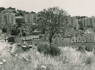
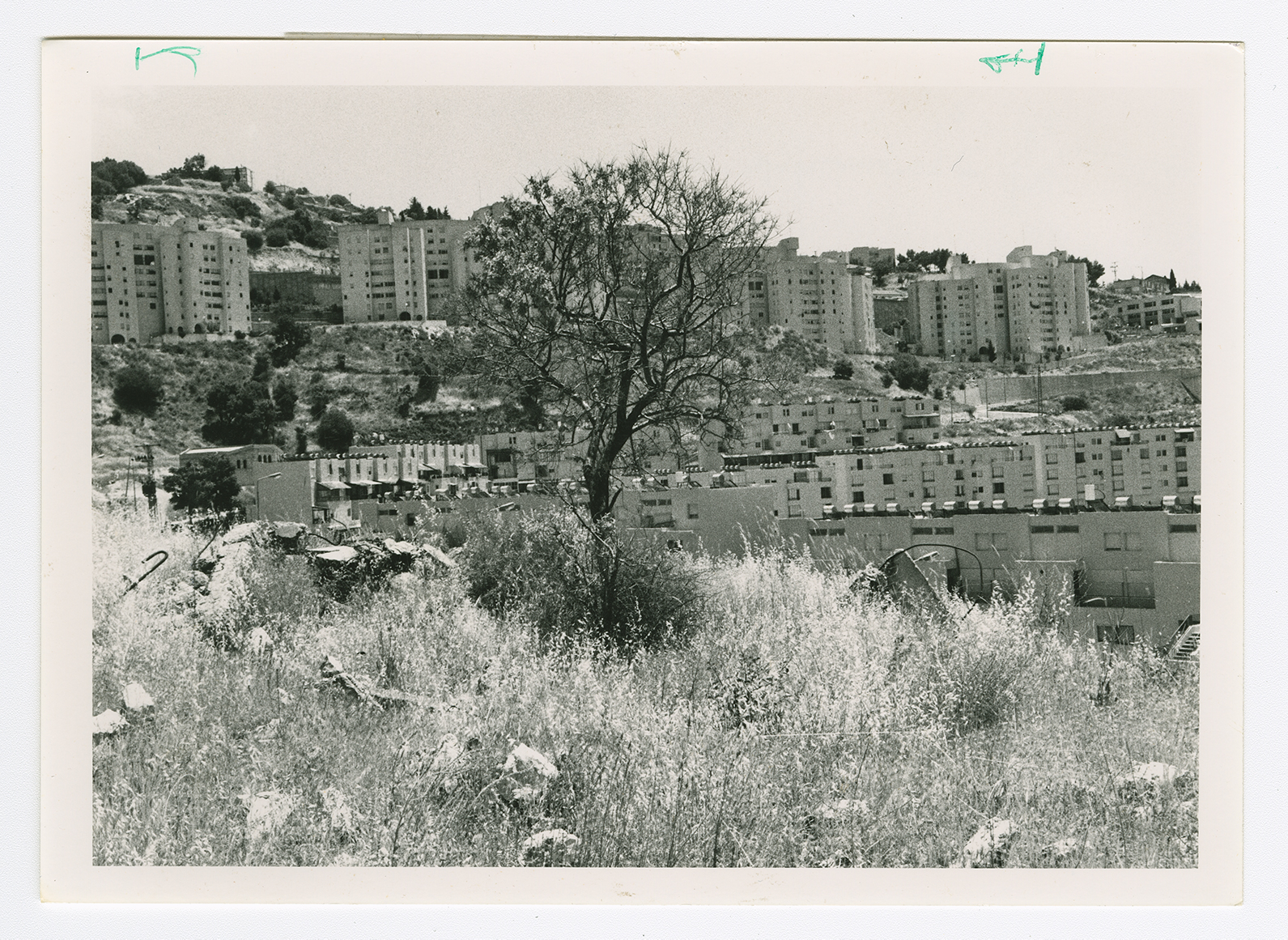
The site has been engulfed by the southern neighborhoods ofthe now wholly Jewish town of Safad that were built after 1948.
The entire topography of the place has been altered, as Safad's expansion has taken over the site. A street that is part of the urban neighborhood crosses the site and leads to a recently-built cluster of houses. However, the stone debris from demolished houses can be identified, along with iron supports that protrude from the ruined cement walls (see photo). The cemetery is visible, though dilapidated. An olive grove and almond trees grow on the edge of the site.

