| Year | Arab | Total |
|---|---|---|
| 1931 | 113 | |
| 1944/45 | 460 | 460 |
| Year | Arab | Public | Total |
|---|---|---|---|
| 1944/45 | 9704 | 304 | 10008 |
| Use | Arab | Public | Total | ||||||||||||
|---|---|---|---|---|---|---|---|---|---|---|---|---|---|---|---|
|
1778 | 276 | 2054 (21%) | ||||||||||||
|
7926 | 28 | 7954 (79%) |
The village was situated on a level, relatively long hill that was oriented from north to south. It was linked by a spur to a highway that linked Gaza to the Ramla-Jerusalem highway, which passed 200 m to the south. Dirt roads linked it to other villages as well. Dayr Muhaysin was identified with the locality called Deirmusim by the Crusaders. In the late nineteenth century the site was seen by the authors of the Survey of Western Palestine, who said that it was a large site covered with the remains of abandoned housing. It was also known as Umm al-Shukf. ![]() In modern times its houses were built of masonry along the roads radiating from the village center; as the village expanded, the houses were built toward the highway to the south. The villagers, most of whom were Muslims, maintained a mosque and a number of shops. Village agriculture was rainfed and was based on grain, which was grown in the flat and low-lying lands, and on fruit trees, which were planted on the slopes. The main agricultural products were olives, grapes, figs, and almonds. In 1944/45 a total of 7,881 dunums was allotted to cereals; 45 dunums were irrigated or used for orchards.
In modern times its houses were built of masonry along the roads radiating from the village center; as the village expanded, the houses were built toward the highway to the south. The villagers, most of whom were Muslims, maintained a mosque and a number of shops. Village agriculture was rainfed and was based on grain, which was grown in the flat and low-lying lands, and on fruit trees, which were planted on the slopes. The main agricultural products were olives, grapes, figs, and almonds. In 1944/45 a total of 7,881 dunums was allotted to cereals; 45 dunums were irrigated or used for orchards.
On the night of 31 March-1 April 1948, Jewish Agency chairman David Ben-Gurion met with members of the Haganah General Staff. They decided to launch a special operation to overrun the villages lying between the coastal plain and Jerusalem. The operational orders of the three battalions assembled especially for this purpose stated that 'all the Arab villages along the [Khulda-Jerusalem] axis were to be treated as enemy assembly or jump-off bases.' Operation Nachshon (see Bayt Naqquba, Jerusalem sub-disctrict) began with the occupation of Dayr Muhaysin and neighboring Khulda on 3 April, and the village was probably levelled shortly afterwards, like other villages captured in the operation.
The History of the Haganah notes simply that Dayr Muhaysin was occupied 'with ease,' but a British army statement quoted by the New York Times said that fighting at the village continued into the night. Israeli historian Benny Morris states that the occupiers did not need to issue expulsion orders because all of the inhabitants had fled before or during the Haganah attacks. Arab forces tried, unsuccessfully, to recapture it twice in the following two days. On the third day (6 April), British forces in al-Latrun asked the Haganah to evacuate the village, allegedly because the road passing through it was vital to their transportation lines. According to the New York Times, which reported the request, the village was evacuated by the Haganah after the British assured them that their convoys would not be attacked in the area. It is not certain when it was reoccupied by Haganah forces, but this was probably soon after the British evacuated it, some time before 15 May. ![]()
The settlement of Beqoa' (143137), established in 1951, is northwest of the village site, on village land.
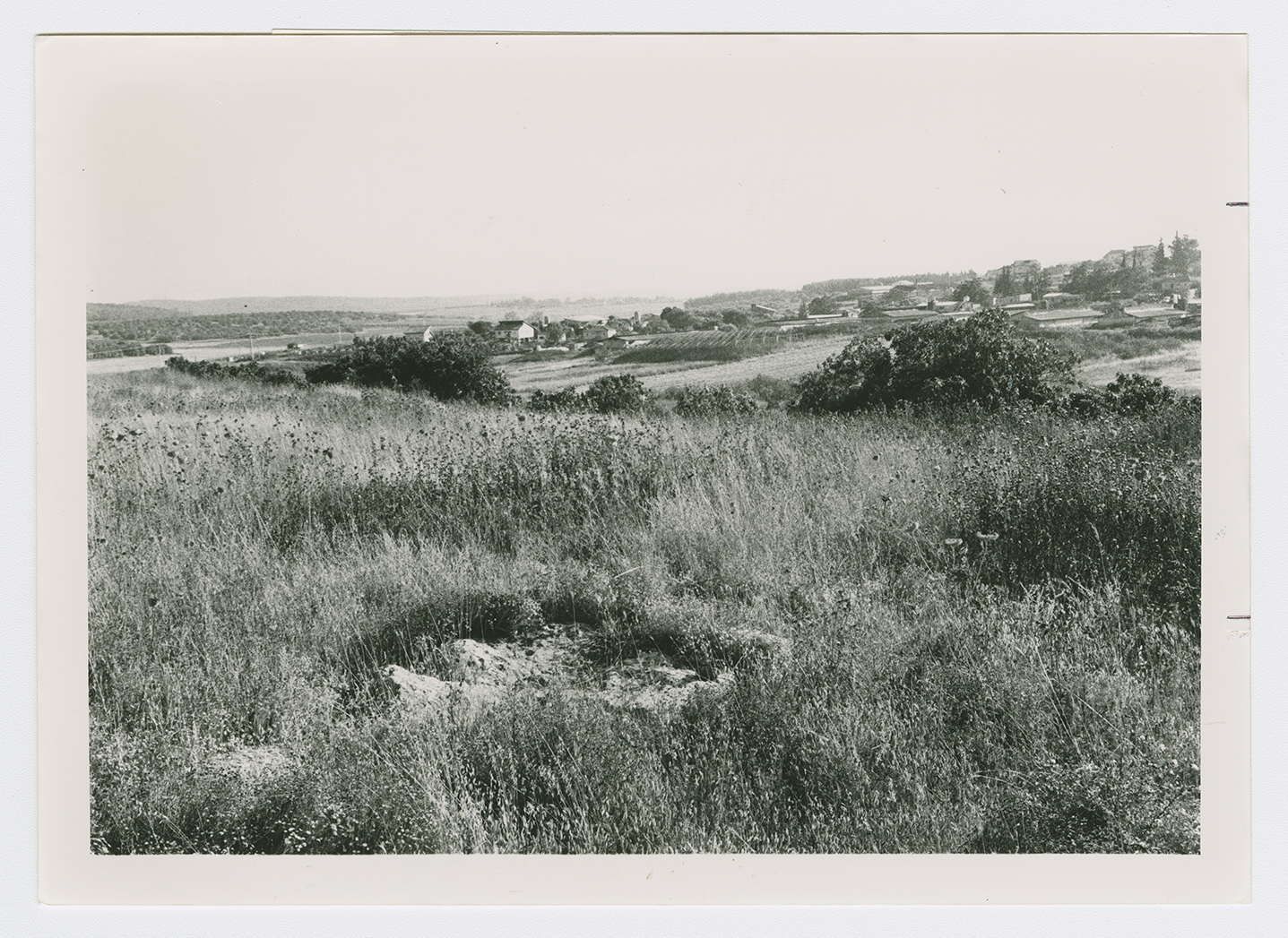
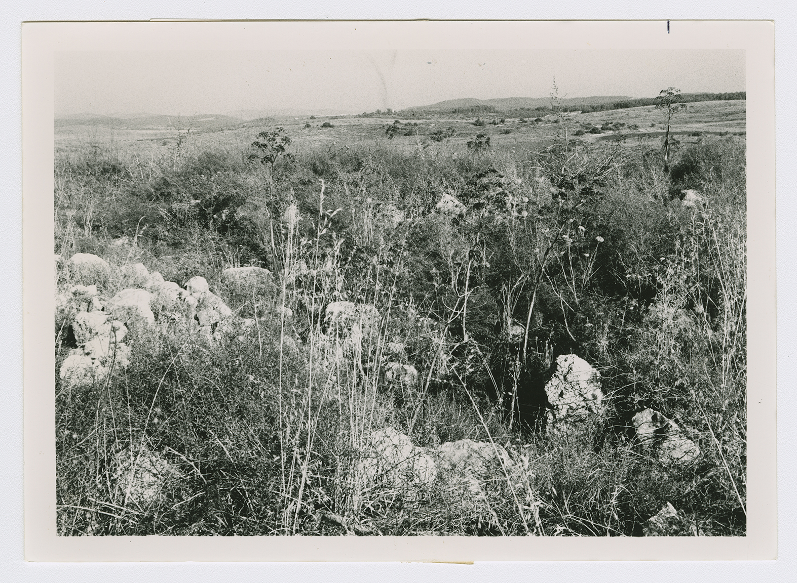
Wild vegetation spreads across the village site, which has been levelled by bulldozers. Almond, mulberry, and pomegranate trees grow on the site, and there is a row of fig trees on its western side (see photos).
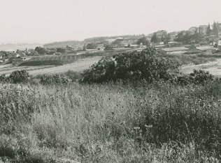
A general view of the village site covered with grasses and thorns. Fig trees grow on its western side. The Israeli settlement of Beqoa' appears in the background.
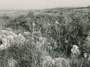
Rubble in the center of the village site. View from west to east.