| Year | Arab | Total |
|---|---|---|
| 1931 | 315 | |
| 1944/45 | 450 | 450 |
| Year | Arab | Public | Total |
|---|---|---|---|
| 1944/45 | 4495 | 7 | 4502 |
| Use | Arab | Public | Total | ||||||||||||
|---|---|---|---|---|---|---|---|---|---|---|---|---|---|---|---|
|
3074 | 7 | 3081 (68%) | ||||||||||||
|
1421 | 1421 (32%) |
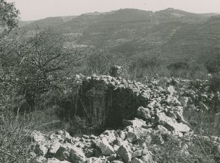
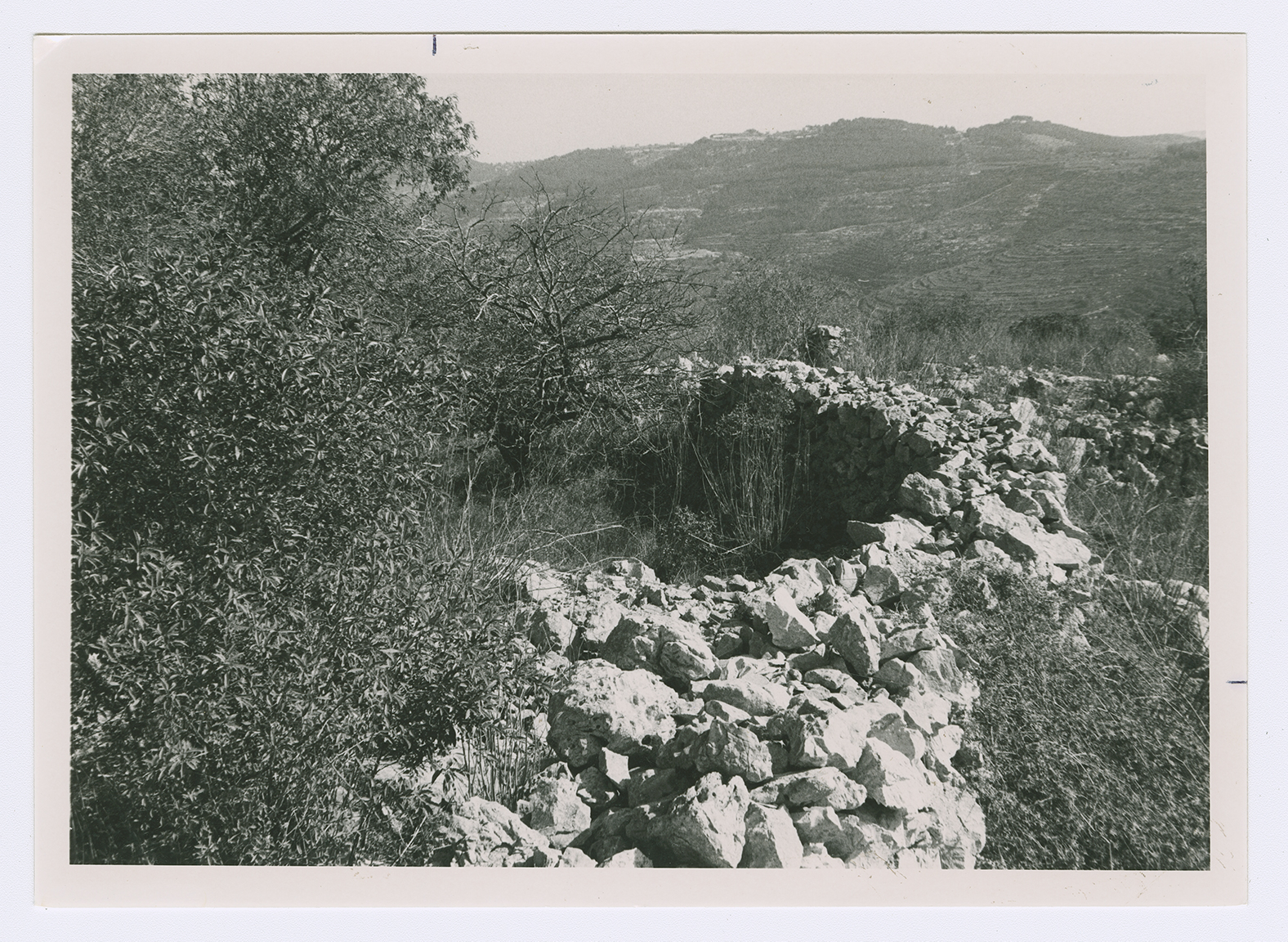
The village stood on the southern side of a mountain crest, overlooking a wide area to the south, east, and west. Wadi al-Sarar flowed past the southern fields of the village, going west on its descent to the Mediterranean. A secondary road linked Khirbat al-Lawz to the village of Ayn Karim (and hence, to Jerusalem) to the east. In the late nineteenth century, the village of Khirbat al-Lawz was located on the upper slope of a ridge, and stood 245 m above a valley to the south. The slope below the village was terraced for cultivation. ![]()
The village plan took the form of an arc extending in an east-west direction. Its houses were built mainly of limestone. In the 1940s new houses were constructed west of the village. The residents, who were Muslim, worshipped in a village mosque and maintained a shrine for a local religious figure, Shaykh Salama. Their lands were used for cultivating vineyards, olive and almond trees, vegetables, and grain. Some of these crops were rainfed and others were irrigated from the village springs. Wild vegetation grew on the slopes and was used for grazing. In 1944/45 a total of 693 dunums was allocated to cereals; 728 dunums were irrigated or used for orchards, of which 186 dunums were planted with olive trees. The village was an archaeological site that contained tombs, the ruins of buildings, a millstone, and other material evidence of earlier occupation.
In July 1948, in the course of Operation Dani, the Israeli army's Har'el Brigade was assigned the task of occupying a number of villages to expand the Zionist-held Jerusalem corridor. Khirbat al-Lawz was occupied on 13−14 July, along with a string of nearby villages. The Brigade continued to hold and patrol the area at least until the signing of the Armistice Agreement with Transjordan in April 1949, according to Israeli historian Benny Morris. Many refugees who remained in the area or attempted to return in the interim period were forcibly expelled. Morris reports that in November 1948, a platoon from the Har'el Brigade confronted dozens of refugees near the village who were moving westwards. Israeli army records of the incident said that 'the platoon ordered them to get out [of Israeli held territory],' confiscating their livestock in the process. ![]()
Grass and thorns grow among the stone rubble and terraces all across the site, as well as almond, fig, and carob trees. A thick forest of cypress and fir trees has been planted around the site. South of it, in the forest, is a well surrounded by several almond and fig trees. The forest is dedicated to the memory of Moshe Dayan, the Israeli general.