| Year | Arab | Total |
|---|---|---|
| 1931 * | 2160 |
The village was located on a hill that sloped toward the east, next to the coastal highway. A wadi passed to the south of the village, descending in a westerly direction. Khirbat al-Manara overlooked the Mediterranean, about 2 km to the west. The name al-Manara, which means "lighthouse" in Arabic, may have referred to the village's high elevation and proximity to the sea. It was classified as a hamlet in the Mandate era by the Palestine Index Gazetteer.
Although the exact date of occupation of Khirbat al-Manara is not known, it may be possible to arrive at an approximate date by examining the neighboring villages. While the coastal area to the west, below the village, was mostly occupied in the early months of the war, a cluster of villages right next to it held out until the end of July, during the second truce. That enclave was called the Little Triangle because it consisted of three villages (Jaba', Ayn Ghazal, and Ijzim). Since Khirbat al-Manara was on the edge of this triangle, standing south of Jaba' and north of Ayn Ghazal, it may have resisted for as long as its neighbors. However, it is more probable that Khirbat al-Manara was captured well before that. It was most probably occupied by the last week of May, when nearby al-Tantura was the last village to be taken on this stretch of coastline.
Some of the village lands are used by the settlement of Ofer, which was established in 1950. On another portion of its lands, a regional school was built which serves the nearby settlement of Kerem Maharal, established in 1949.
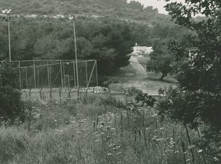
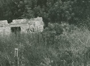
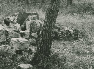
A fenced-in area on part of the site is used by the regional school; the remains of a house are visible inside a stand of cypress trees. Outside the fenced-in area are still more cypress trees, among which are the remains of four stone houses. Cactuses and almond trees also grow there. The remains of two additional houses are near the southern part of the site. A house stands next to a well 0.5 km northwest of the site.
Related Content
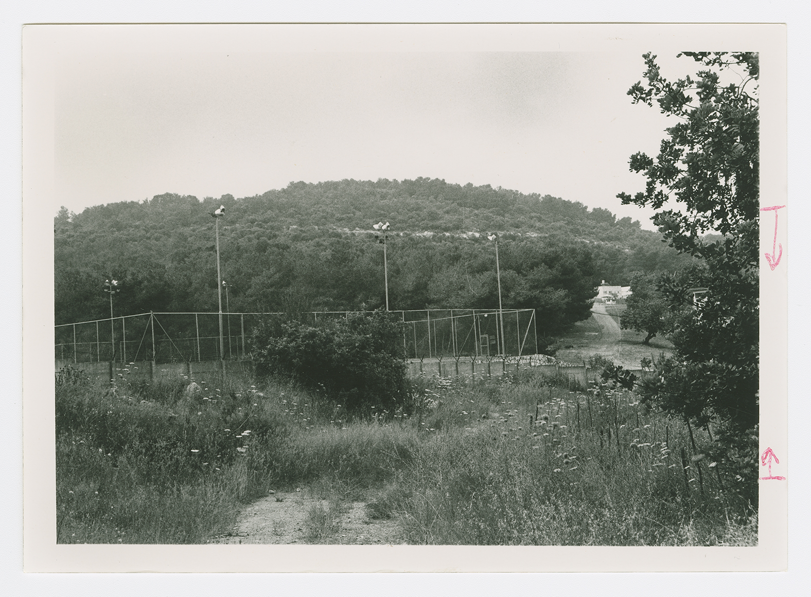
The village site covered with trees. View from the north.
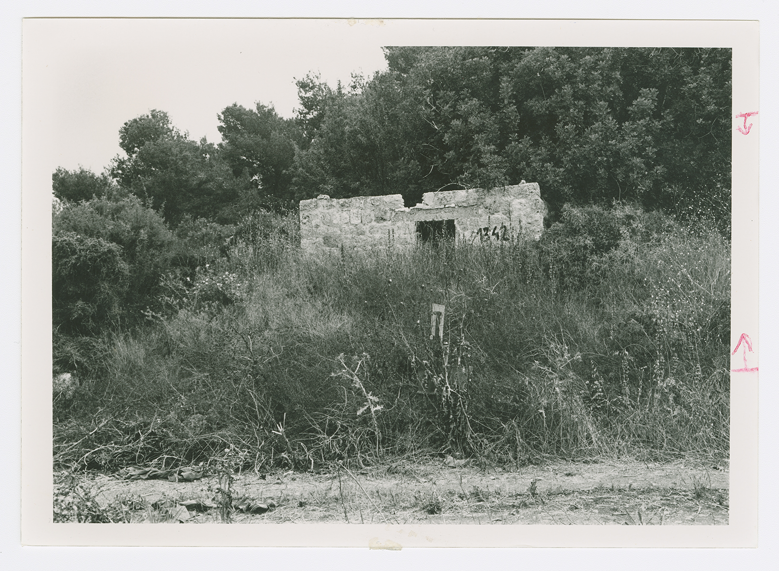
The remains of a house northwest of the village site.
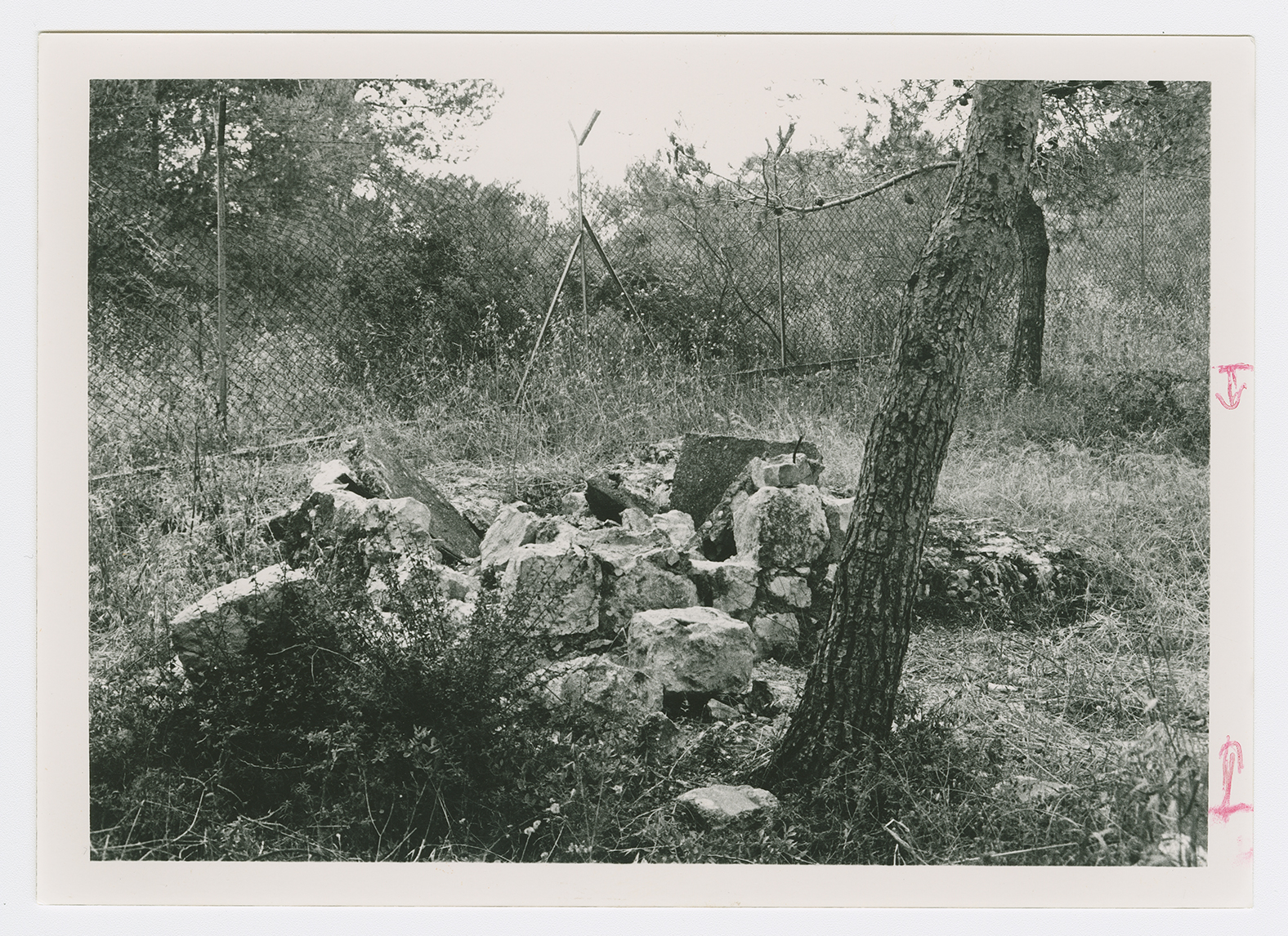
House rubble on the village site.
