| Year | Arab | Total |
|---|---|---|
| 1944/45 | 20 | 20 |
| 1931 | 13 | 13 |
| Year | Arab | Public | Total |
|---|---|---|---|
| 1944/45 | 1368 | 1368 |
The village stood on land underlain by volcanic rock, in an area sloping toward the al-Hula Plain, and faced north. Its entire population was Muslim. Khirbat Waqqas (also called Khirbat al-Qadah) was located west-northwest of the village and has been identified with the Canaanite (and subsequently Israelite) city of Hasur (Chatzor). Yarda was well-endowed with water resources, which made possible the cultivation of rice, clover, corn, and vegetables.
Although it may first have been occupied during Operation Yiftach (see Abil al-Qamh, Safad sub-disctrict) in April–May 1948, Yarda later fell on the periphery of the Demilitarized Zone (DMZ) between Syria and Israel after the July 1949 Armistice Agreement. If Yarda remained inhabited at the end of Operation Yiftach, it is likely that the villagers suffered the same fate as those in villages that fell squarely within the DMZ. Israeli historian Benny Morris relates that the latter were driven out by the Israeli authorities between 1949 and 1956, by means of direct and indirect pressures (see Kirad al-Baqqara, Safad sub-disctrict).
The lands of Yarda were taken over by the Zionist settlement of Ayyelet ha-Shahar (204270) in 1948. In 1949 the settlement of Mishmar ha-Yarden (206267) (not to be confused with a settlement of the same name, founded in 1890 near the bridge of Banat Ya'qub) was built on village land, about 1 km east of the village site.
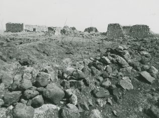
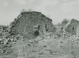
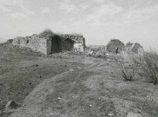
The truncated waIls of some houses still stand, as well as those of a
Related Content
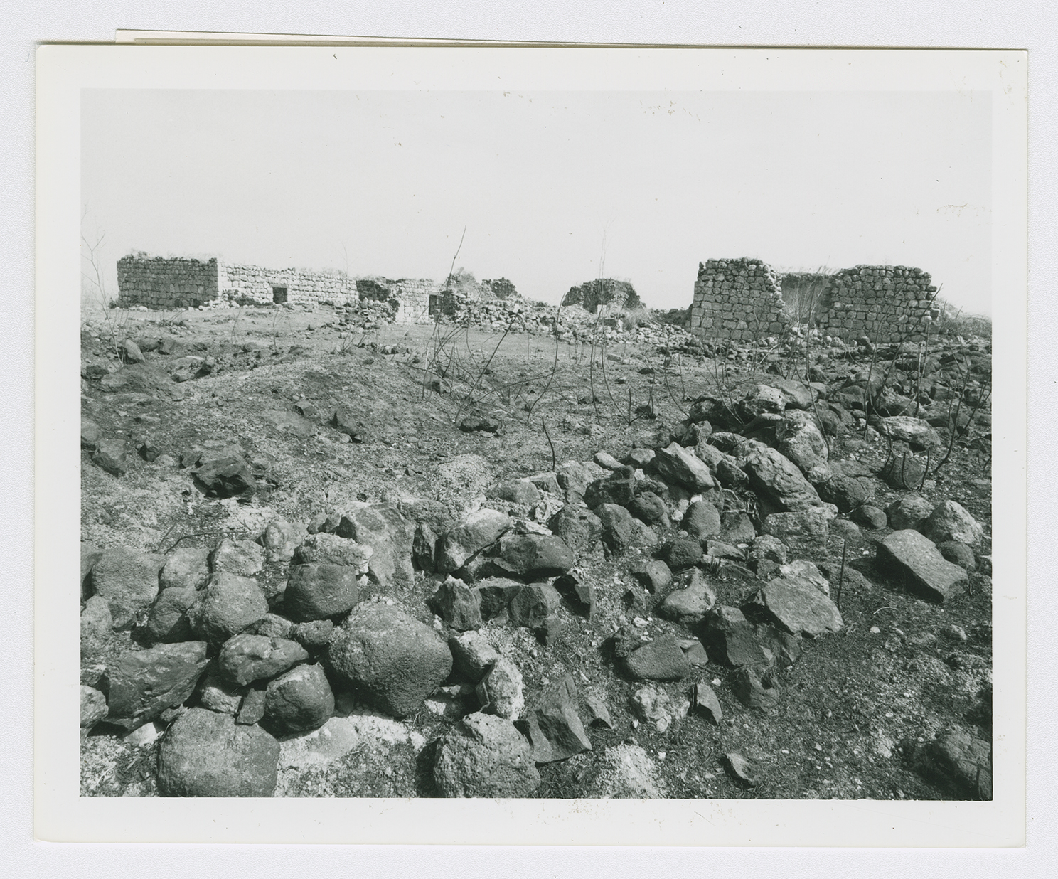
Rubble and the remains of house walls on the village site.
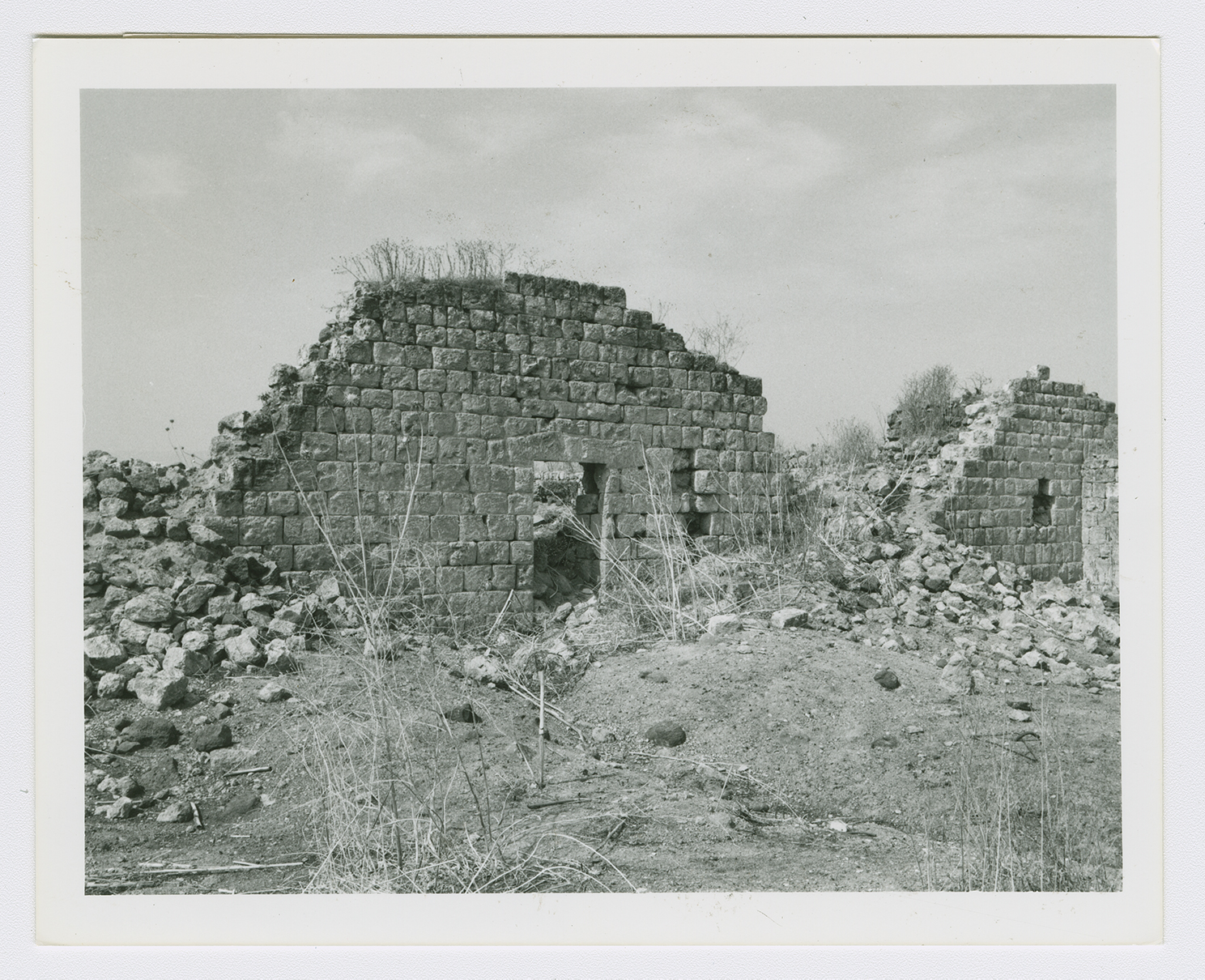
Rubble and the remains of house walls on the village site.
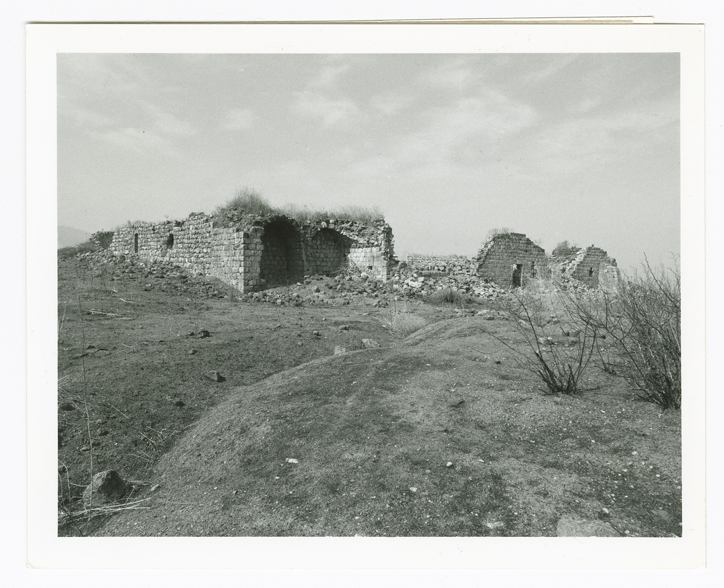
Ruins of the caravanserai in the village.
