| Year | Arab | Jews | Total |
|---|---|---|---|
| 1931 | 157 | ||
| 1944/45 | 220 | 100 | 320 |
| Year | Arab | Jewish | Public | Total |
|---|---|---|---|---|
| 1944/45 * | 4814 | 1386 | 4702 | 10902 |
| Use | Arab | Jewish | Public | Total | ||||||||||||||||||||
|---|---|---|---|---|---|---|---|---|---|---|---|---|---|---|---|---|---|---|---|---|---|---|---|---|
|
411 | 93 | 3836 | 4340 (40%) | ||||||||||||||||||||
|
4567 | 1293 | 866 | 6726 (62%) |
The village stood on a hill overlooking the Baysan Valley to the east, Wadi Yubla to the north, and the lands of the town of Baysan to the south. The village, which relied on Baysan for administrative and commercial services, was named after the Ottoman sultan Abd al-Hamid II (1876-1909). It was linked to a highway leading to Baysan by a secondary road that was approximately 2 km long. Other roads connected it to four neighboring villages. It had a rectangular plan with narrow streets that intersected to form a grid. Its houses were built of adobe brick. During its slow expansion in the first half of this century, newer houses were built of cement along the roads that linked it to the nearby villages. The village was classified as a hamlet by the Palestine Index Gazetteer. In the northeastern part of al-Hamidiyya there was a shrine, Maqam Khalid, for a local Muslim saint. Al-Hamidiyya's population, which was Muslim, worked primarily in agriculture. The village lands were planted in grain and various vegetables. In 1944/45 a total of 164 dunums was devoted to citrus and bananas and 4,395 dunums were allotted to cereals; 8 dunums were irrigated or used for orchards.
The Golani Brigade successfully attacked Baysan and 'cleared' most of the Baysan Valley of its inhabitants in an offensive mounted in the first half of May 1948. Al-Hamidiyya was one of the few villages that had remained. Its people left on 12 May 'under the influence of the exodus from the town of Beisan and under pressure from the Haganah,' according to Israeli historian Benny Morris. He does not specify what kind of pressure was involved. In September, neighboring Zionist settlements applied to the Israeli authorities for permission to demolish the village (as well as three others in the area). It is not clear from Morris' account whether permission was granted or when the destruction was carried out. ![]()
The settlement of Chermonim, established 2 km south of the village site in 1942, is close to but not on village lands. Its name was changed to Chamadya in 1952 to resemble the Arabic name of al-Hamidiyya more closely. ![]()
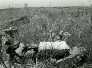
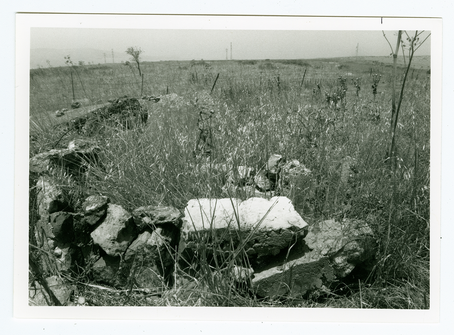
Aside from the ruins of the village's houses (which have been reduced to cement rubble), a cemetery, and a few wells, only thorns are found on the site. The lands in the vicinity are used by Israelis for agriculture and grazing.