| Year | Arab | Total |
|---|---|---|
| 1931 * | 559 |
The village, which was classified as a hamlet by the Palestine Index Gazetteer, stood on a slight elevation that rose above a stretch of flat ground. To the south of it was an artificial pond. Its most distinctive feature was one large house. It was linked by secondary roads to surrounding villages and localities. One such road passed through the village, dividing it into eastern and western halves. The first part of its name, bayyara, meant 'orchard' in Arabic. This suggests that the village may have been established during the citrus boom that began as early as the 1880s in the coastal areas of Palestine.
Like many villages in the Tulkarm, Bayyarat Hannun probably felt the effects of the war in its early stages. Although it is not known when this village was occupied, this portion of the coast was an area of heavy Jewish settlement and was targeted for 'clearing' by the end of March 1948. The Haganah and Irgun Zvai Leumi carried out raids on many villages in this area, expelling their inhabitants and terrorizing many other communities into flight. One village that was displaced during March was nearby Umm Khalid, according to Israeli historian Benny Morris. Most of the villages that remained populated by the end of March, such as Khirbat Bayt Lid, were evacuated during April and early May.
The lands of Bayyarat Hannun have been merged with those that once belonged to another destroyed village, Ghabat Kafr Sur. Two Israeli settlements have been built on the lands of Ghabat Kafr Sur. The southern portion of the town of Netanya is located 0.5 km from the site of Bayyarat Hannun.
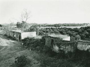
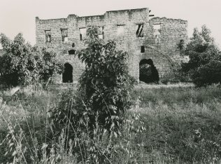
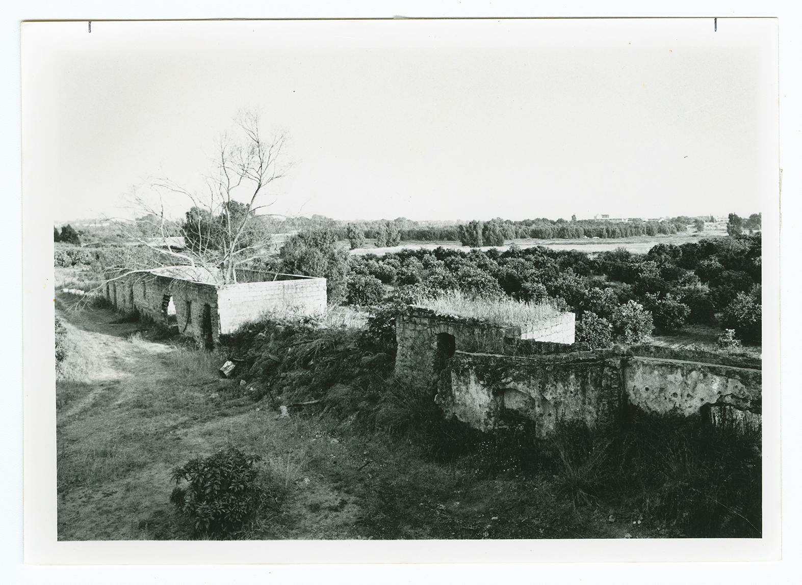
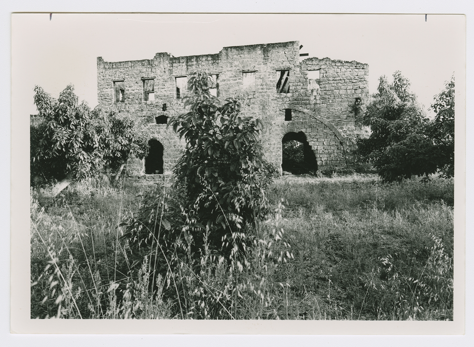
One large, two-storey, deserted house still stands on the site, although some sections of it have been destroyed. Each storey consists of three large rooms. There is an artificial pond near the western side of the house, and a wall runs from the house to the west and east. The rooms on the lower floor are used to store agricultural implements. The house is bordered by avocado orchards on the north and west, and by citrus on the southern side. On the eastern edge of the site is a group of dilapidated houses.


