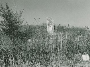
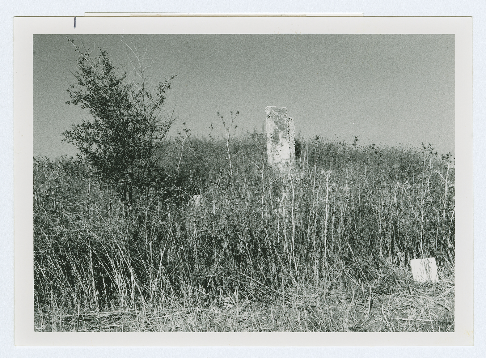
The village stood on a flat area on the central coastal plain, on the north bank of Wadi al-Sarar, which ran west and flowed into the Mediterranean (where it was known as the Rubin River). The highway that linked Gaza to the Ramla-Jerusalem highway passed south of Umm Kalkha. Near the village, the Wadi al-Sarar railway station provided access to the railway line between Ramla and Jerusalem; dirt paths linked Umm Kalkha to villages in the area. Umm Kalkha must have been built after 1881, because when the authors of the Survey of Western Palestine visited the region in that year, they saw only the 'visible ruins of an ancient town.'  II:426]") With only a few mud houses, the village had no particular shape or even streets. Its entire population was Muslim. Drinking water was provided by a well adjacent to the site. The residents cultivated grain, vegetables, citrus, and olives. Some of these crops were rainfed and others were irrigated from artesian wells. In 1944/45 a total of 21 dunums was devoted to citrus and bananas and 1,119 dunums were allocated to cereals; 93 dunums were irrigated or used for orchards. Next to the village lay Khirbat Umm Khalkha, which contained pillars, cisterns, tombs carved in rock, and caves.
With only a few mud houses, the village had no particular shape or even streets. Its entire population was Muslim. Drinking water was provided by a well adjacent to the site. The residents cultivated grain, vegetables, citrus, and olives. Some of these crops were rainfed and others were irrigated from artesian wells. In 1944/45 a total of 21 dunums was devoted to citrus and bananas and 1,119 dunums were allocated to cereals; 93 dunums were irrigated or used for orchards. Next to the village lay Khirbat Umm Khalkha, which contained pillars, cisterns, tombs carved in rock, and caves.