| Year | Arab | Total |
|---|---|---|
| 1931 | 66 | 66 |
| 1944/45 | 110 | 110 |
| Year | Arab | Public | Total |
|---|---|---|---|
| 1944/45 | 709 | 20 | 729 |
| Use | Arab | Public | Total | ||||||
|---|---|---|---|---|---|---|---|---|---|
|
20 | 20 (3%) | |||||||
|
709 | 709 (97%) |
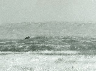
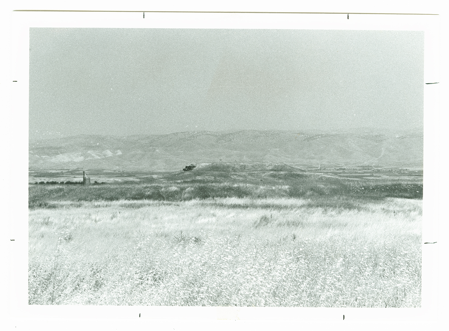
The village stood on a level plain that gradually sloped westward, and overlooked wide areas to the east in the Jordan Valley. It was bordered on the northern and southern sides by the tells of Shaykh al-Fatur (which contained a well built of ancient materials) and Shaykh Radgha. A dirt path linked the village to the Baysan-Jericho highway, which ran a short distance to the west. The villagers earned their living from the cultivation of perennial crops, mainly grain and vegetables. In 1944/45 a total of 709 dunums was allocated to cereals.
The people of al-Fatur may have been displaced in mid-February 1948, as a result of a battle between Zionist forces and the Arab Liberation Army around the nearby Jewish settlement of Tirat Tzvi. Alternatively, they may have held out for three more months until Operation Gideon (see al-Ashrafiyya, Baysan sub-disctrict). The nearby village of al-Zarra'a is reported to have been evacuated on 20 May; it is not known whether it suffered a direct military assault, or whether its people fled under the influence of the exodus from nearby communities. AI-Fatur was close to the subsequent armistice lines.
There are no Israeli settlements on village lands. The nearest settlement is that of Tirat Tzvi , founded in 1937, north of the village. Mechola, founded in 1968, is about 5 km southwest of the village site; its inhabitants cultivate some of the village lands.
The village has been destroyed and the surrounding land has been planted in wheat by the Israeli colony of Mechola . The rubble of structures from Shaykh al-Fatur is overgrown with thorns and doum palm trees. The spring of al-Fatur lies immediately to the north of the rubble.

