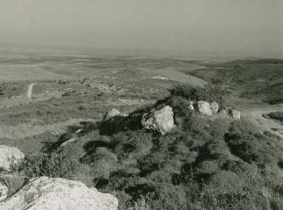
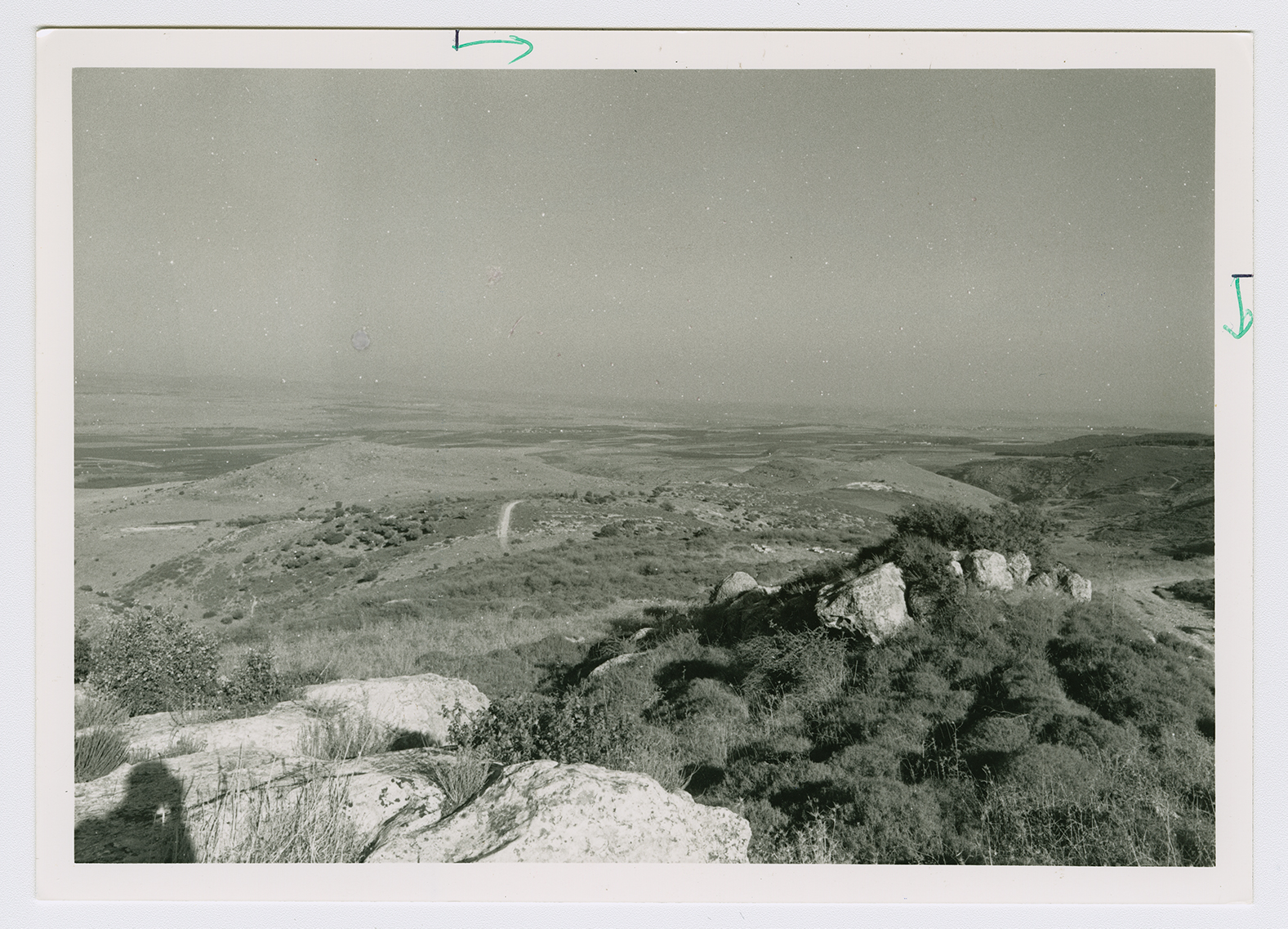
The village was situated on a slope that descended from the eastern Upper Galilee Mountains and overlooked the al-Hula Plain to the east. Two wadis passed near the village, about 0.25 km to the north and approximately 0.5 km to the southwest. A spring, 'Ayn Abu Zamla (200270), flowed about 0.75 km south of it. In 1596, Marus was a village in the nahiya of Jira (liwa' of Safad) with a population of 176. It paid taxes on a number of crops, including wheat, barley, and fruits, as well as on other types of produce, such as goats. ![[Hut. and Abd.:178]](/sites/default/files/Ref_1.JPG) Under the Mandate, Marus was classified as a hamlet (by the Palestine Index Gazetteer) and its entire population was Muslim. Grain cultivation and animal husbandry represented the chief sources of livelihood for the villagers. Figs as well as other fruits were also cultivated mainly to the east, northeast, and north of the site. In 1944/45 a total of 903 dunums was planted in cereals and 108 dunums were irrigated or used for orchards. Recent excavations at Marus have focused on what appears to have been a synagogue, which functioned as such from the seventh through the twelfth centuries, after which it was abandoned. In the fourteenth century the building was redesigned for use as a dwelling. Columns, tombs carved in rock, presses, and a cave with a carved stone entrance have been found at the site.
Under the Mandate, Marus was classified as a hamlet (by the Palestine Index Gazetteer) and its entire population was Muslim. Grain cultivation and animal husbandry represented the chief sources of livelihood for the villagers. Figs as well as other fruits were also cultivated mainly to the east, northeast, and north of the site. In 1944/45 a total of 903 dunums was planted in cereals and 108 dunums were irrigated or used for orchards. Recent excavations at Marus have focused on what appears to have been a synagogue, which functioned as such from the seventh through the twelfth centuries, after which it was abandoned. In the fourteenth century the building was redesigned for use as a dwelling. Columns, tombs carved in rock, presses, and a cave with a carved stone entrance have been found at the site.
Under the Mandate, Marus was classified as a hamlet (by the Palestine Index Gazetteer) and its entire population was Muslim. Grain cultivation and animal husbandry represented the chief sources of livelihood for the villagers. Figs as well as other fruits were also cultivated mainly to the east, northeast, and north of the site. In 1944/45 a total of 903 dunums was planted in cereals and 108 dunums were irrigated or used for orchards. Recent excavations at Marus have focused on what appears to have been a synagogue, which functioned as such from the seventh through the twelfth centuries, after which it was abandoned. In the fourteenth century the building was redesigned for use as a dwelling. Columns, tombs carved in rock, presses, and a cave with a carved stone entrance have been found at the site.

