| Year | Arab | Total |
|---|---|---|
| 1931 | 242 | |
| 1944/45 | 260 | 260 |
| Year | Arab | Jewish | Public | Total |
|---|---|---|---|---|
| 1944/45 | 2708 | 1218 | 2517 | 6443 |
| Use | Arab | Jewish | Public | Total | ||||||||||
|---|---|---|---|---|---|---|---|---|---|---|---|---|---|---|
|
20 | 183 | 203 (3%) | |||||||||||
|
2688 | 1218 | 2334 | 6240 (97%) |
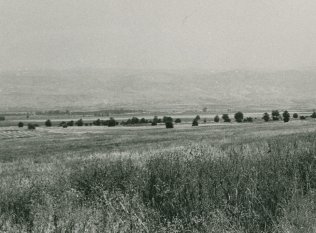
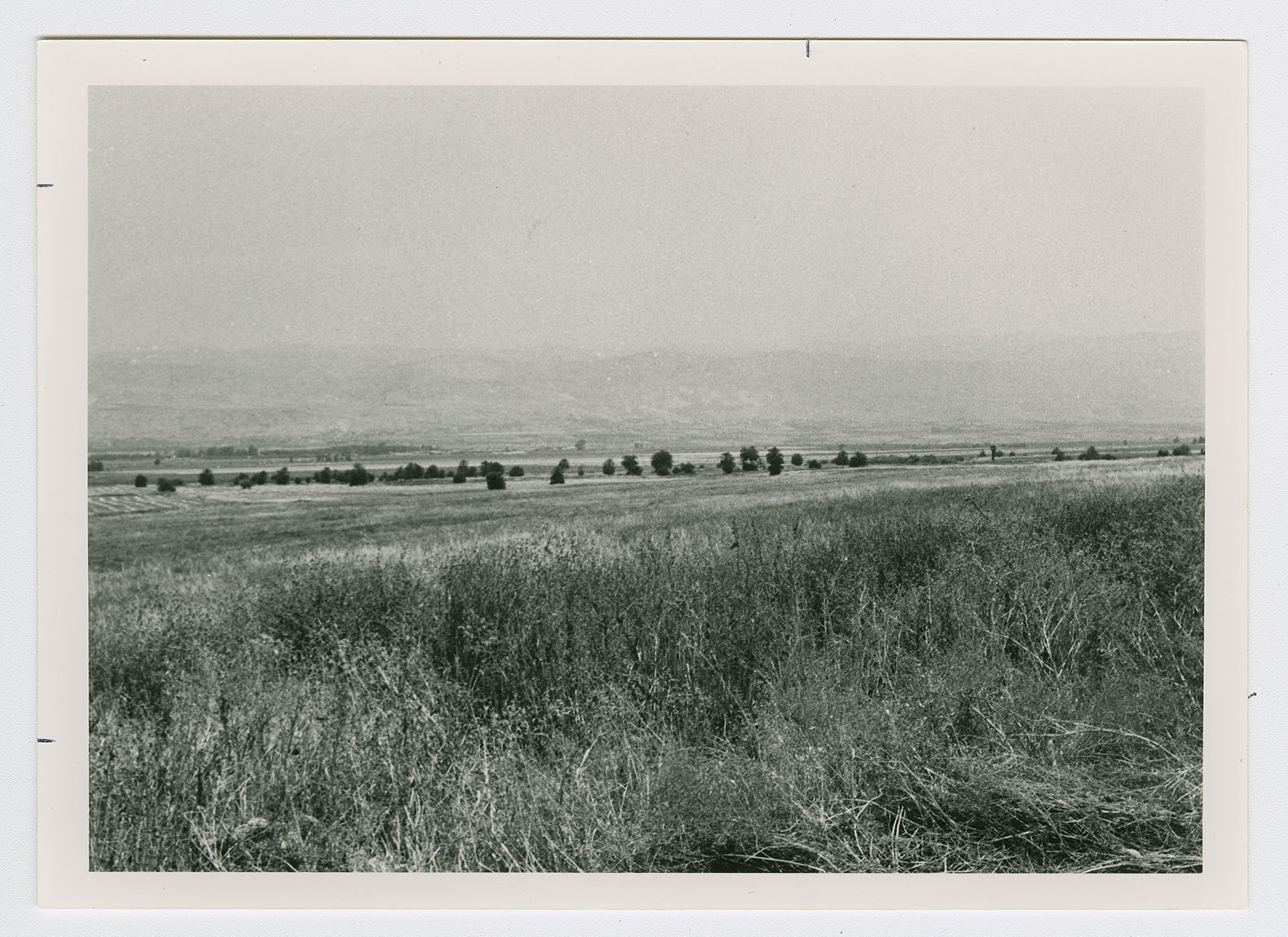
The village stood on generally flat terrain that sloped gradually eastward. It overlooked a large part of the Jordan Valley from all sides except the west. A secondary road linked it to a highway that led to Baysan, and similar roads and dirt paths connected it to surrounding villages. The dwellings of Umm Ajra consisted of houses and tents, most of which were crowded together near its western edge, around the village springs. Some of the dwellings were scattered across the farmlands east of the main site. Umm Ajra's population was Muslim. Baysan provided the villagers with various services and market outlets for their produce. In 1944/45 a total of 2,688 dunums was allocated to cereals. Several tells were located on Umm Ajra's lands: Tall al-Shaykh al-Simad, a double mound, Khirbat Hajj Makka and Khirbat Sursuq.
Shif'a, a farm built in the 1950s , is on village lands. Three settlements were founded close to, but not actually on, village lands. Avuqa, established in 1941
, is to the north. Kibbutz En ha-Natziv, founded in 1946, lies on tne western side of the site, and Kibbutz Kefar Ruppin, founded in 1938, lies on the eastern side.
The site and lands are cultivated. The remains of date palm trees can be seen, scattered across the northern side of the site.

