| Year | Arab | Jews | Total |
|---|---|---|---|
| 1931 | 374 | ||
| 1944/45 | 530 | 290 | 820 |
| Year | Arab | Jewish | Public | Total |
|---|---|---|---|---|
| 1944/45 * | 1088 | 4985 | 327 | 6400 |
| Use | Arab | Jewish | Public | Total | |||||||||||||||
|---|---|---|---|---|---|---|---|---|---|---|---|---|---|---|---|---|---|---|---|
*includes Nir David **includes Nir David |
60 | 280 | 340 (5%) | ||||||||||||||||
*includes Nir David **includes Nir David |
1088 | 4925 | 47 | 6060 (95%) |
The village was located in the middle of a plain, bordered by three tells: Tall al-Dahra al-Kabir ("the tell of the big mountain peak"), in the north, and Tall al-Dahra al-Saghir ("the tell of the small mountain peak"), in the south, and Tall 'Amal, also in the south. The al-Faqqu'a Mountains (also known as the Jilbu' Hills) stretched south of the village. The Jalud River crossed the village lands on its way to the Jordan. The village was also intersected by a highway leading to Baysan, and was linked via a secondary road to the nearby village of al-Murassas. Numerous springs were to be found in the area, and the inhabitants, all of whom were Muslims, worked mainly in agriculture. Most of their land was devoted to the cultivation of vegetables (grown along the southern bank of the Jalud River), grapes and fruit trees; date palms were tended in the eastern lands. In 1944/45 a total of 260 dunums was allocated to cereals; 828 dunums were irrigated or used for orchards. A forest occupied a large area to the northwest.
On 12 May 1948, a couple of neighboring villages were occupied and al-Sakhina may have fallen at the same time. That was the same day on which the town of Baysan was taken by the Golani Brigade, in a sweep through the entire Baysan Valley known as Operation Gideon.
The settlement of Nir David , established in 1936 under the name Tel 'Amal , is just south of the village site, on lands that traditionally belonged to al-Sakhina.
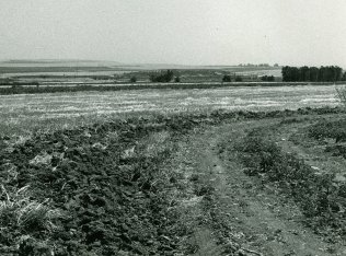
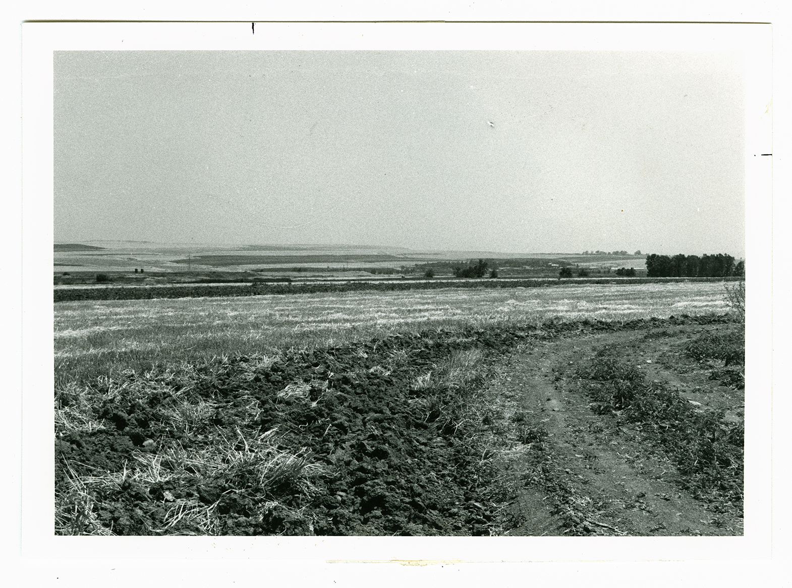
No physical evidence remains by which the site may be identified, as the entire area has been plowed and turned into agricultural fields. The village lands are cultivated by the Nir David settlement.

