| Year | Arab | Total |
|---|---|---|
| 1931 | 265 | |
| 1944/45 | 350 |
| Year | Arab | Jewish | Public | Total |
|---|---|---|---|---|
| 1944/45 | 3795 | 175 | 5 | 3975 |
| Use | Arab | Jewish | Public | Total | ||||||||||||||||
|---|---|---|---|---|---|---|---|---|---|---|---|---|---|---|---|---|---|---|---|---|
|
247 | 5 | 252 (6%) | |||||||||||||||||
|
3548 | 175 | 3723 (94%) |
Kirad al-Ghannama was the "twin" of the adjacent village, Kirad al-Baqqara. It was situated on a gently sloping, volcanic outcrop on the southern edge of the aI-Hula Plain, overlooking it to the north. Its houses were made of adobe bricks and had wooden roofs. Water was plentiful and came from a variety of sources-wells, springs, and the nearby Wadi Waqqas (to the west). The village population was predominantly Muslim. The villagers cultivated mainly grain. In 1944/45 a total of 77 dunums was devoted to citrus and bananas and 3,451 dunums were allocated to cereals; 20 dunums were irrigated or used for orchards. Near the village were two archaeological sites, Khirbat Nijmat al-Subh (204269) and Tall al-Safa (205269), that contained columns, the remains of walls, and cisterns. About 2 km to the southwest lay the large Bronze-Iron Age site of Tall al-Qadah (203269).
In mid-March 1948, a Haganah massacre in the neighboring village of al-Husayniyya 'left dozens of dead,' according to Israeli sources, and led to the temporary evacuation of Kirad al-Ghannama. The following month, it was temporarily (or partially) evacuated again during Operation yiftach (see Abil al-Qamh, Safad sub-disctrict). On 22 April the villagers reportedly left during that operation under the influence of a direct military assault on a nearby village, perhaps al-'Ulmaniyya (which was attacked on 20 April). .
In July 1949, Israel signed an armistice agreement according to which Kirad al-Ghannama was to be located within a Demilitarized Zone (DMZ) and the inhabitants of the area were to be protected. However, the Israeli authorities were determined to drive out those villagers who had remained, and deployed a variety of means over the following seven years to do so (see Kirad al-Baqqara, Safad sub-disctrict). By 1956, the DMZ's 2,200 inhabitants had been pushed out, and Kirad al-Ghannama was evacuated for the third time.
There are no Israeli settlements on village lands, although Gadot (205269), founded in 1949, is very close to the site and Ayyelet ha-Shahar (204269), founded in 1918, is close by to the west.
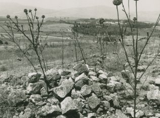
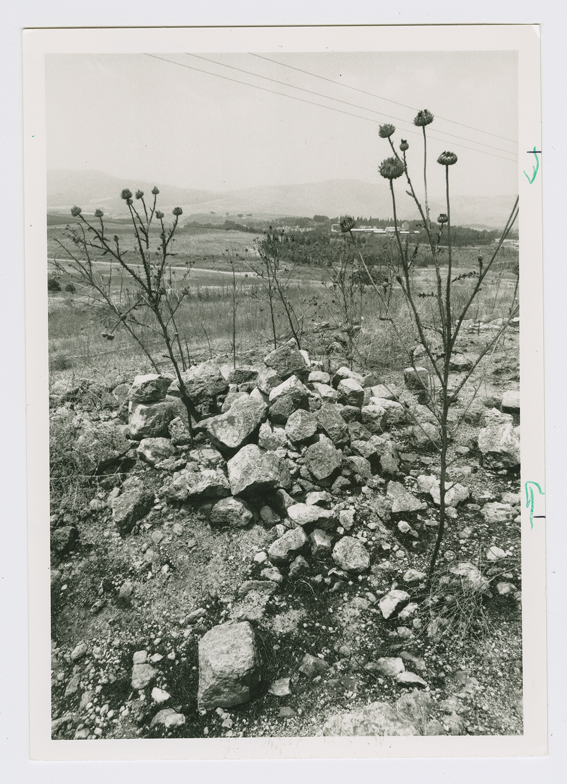
Only the rubble of houses remains. Vegetation, such as shrubs, some trees, and grass, grows throughout the area. The surrounding land is used by Israelis both for crop cultivation and as pasture.

