| Year | Arab | Total |
|---|---|---|
| 1931 | 239 | 240 |
| 1944/45 | 410 |
| Year | Arab | Jewish | Public | Total |
|---|---|---|---|---|
| 1944/45 | 1756 | 746 | 350 | 2852 |
| Use | Arab | Jewish | Public | Total | ||||||||||||
|---|---|---|---|---|---|---|---|---|---|---|---|---|---|---|---|---|
|
18 | 74 | 350 | 442 (15%) | ||||||||||||
|
1738 | 672 | 2410 (85%) |
The village was situated in a shallow depression on the north bank of the Yarmuk River, on the Palestine-Jordan border. A spur linked it to the highway between the al-Majami' bridge and the village of Samakh, and another road linked it to al-Baqura, an adjacent village (presently located in Jordan). Initially, al-Dalhamiyya was located on the eastern bank of the Jordan River, but as Zionist land reclamation projects near Lake Tiberias expanded the villagers were displaced, and so they relocated their village farther east, near the Yarmuk. The American biblical scholar and traveler Edward Robinson was told when he was in Palestine in 1838 that the village lay on the eastern bank of the Jordan. The village houses were built mostly of adobe brick, with roofing made of straw and reeds. Its population was predominantly Christian.
Agriculture, the mainstay of al-Dalhamiyya's economic life, was based on vegetables and citrus. Lands to the north and west of the village were endowed with a silt-rich soil that enhanced their fertility. The villagers relied on the Yarmuk River for irrigation. In 1944/45 a total of 1,709 dunums was allocated to cereals; 29 dunums were irrigated or used for orchards. On the southwestern outskirts of the village was Khirbat al-Dalhamiyya (203228), a mound of ruins and potsherds.
Details of the occupation of al-Dalhamiyya are unavailable. It was probably captured some time between the attack on Tiberias in mid-April 1948, and the occupation of Baysan and the Baysan Valley in the first half of May. A few nearby villages were occupied at this time in preparation for the 'clearing' of the Baysan Valley. Neighboring Samakh was attacked on 28 April and by 3 May, Zionist settlers in the area told the Jewish National Fund that their surroundings (around the 'Sea of Galilee,' or Lake Tiberias) had been emptied of their Arab inhabitants. According to Israeli historian Benny Morris, these colonists demanded quick action to establish Jewish settlements in the newly depopulated villages.
Zionists established the settlement of Ashdot Ya'aqov (204229) southwest of the village in 1933. Ashdot Ya'aqov Me'uchad (204230), founded in 1933, and Menachemya (202230), founded in 1902, are west of the former village. Although they are close to the village site, none are on village lands.
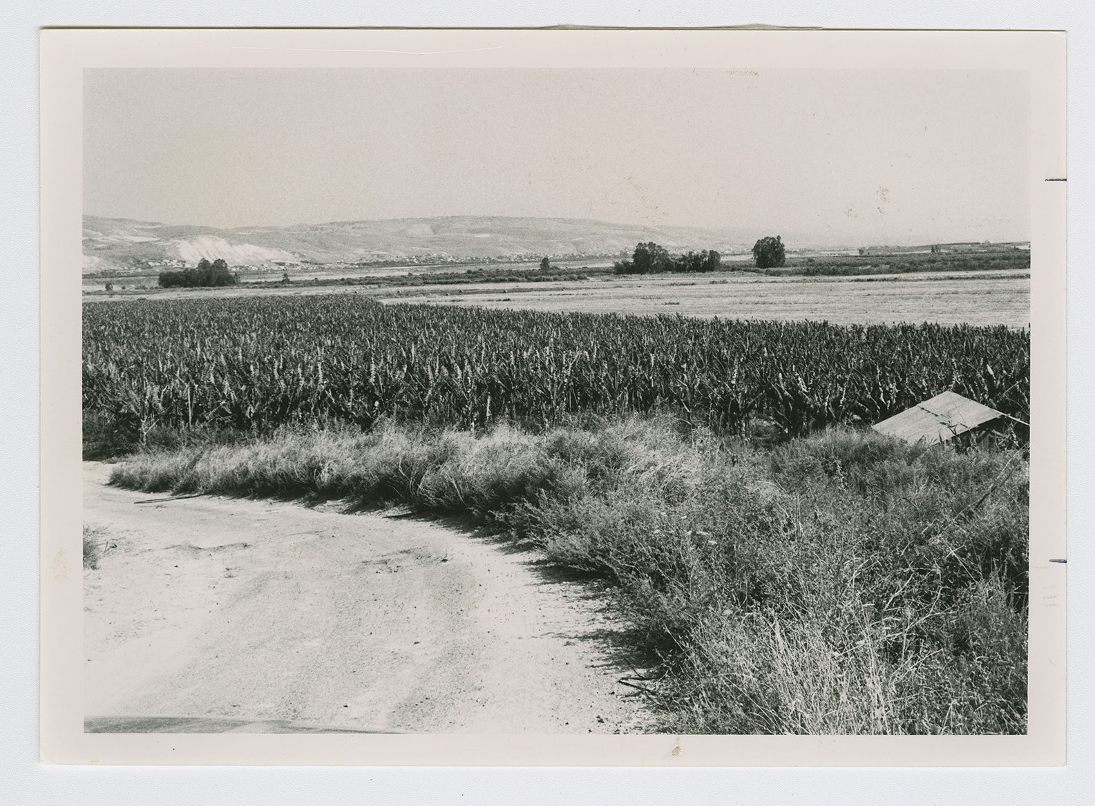
The village has been obliterated. There is a banana grove on the site that belongs to the nearby kibbutz, Ashdot Ya'aqov (see photo).

