| Year | Arab | Total |
|---|---|---|
| 1931 | 214 | |
| 1944/45 | 490 | 490 |
| Year | Arab | Jewish | Public | Total |
|---|---|---|---|---|
| 1944/45 * | 4185 | 1410 | 1202 | 6797 |
| Use | Arab | Jewish | Public | Total | |||||||||||||||
|---|---|---|---|---|---|---|---|---|---|---|---|---|---|---|---|---|---|---|---|
*includes Nasir al-Din **includes Nasir al-Din |
13 | 175 | 1054 | 1242 (18%) | |||||||||||||||
*includes Nasir al-Din |
4172 | 1235 | 148 | 5555 (82%) |
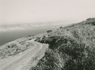
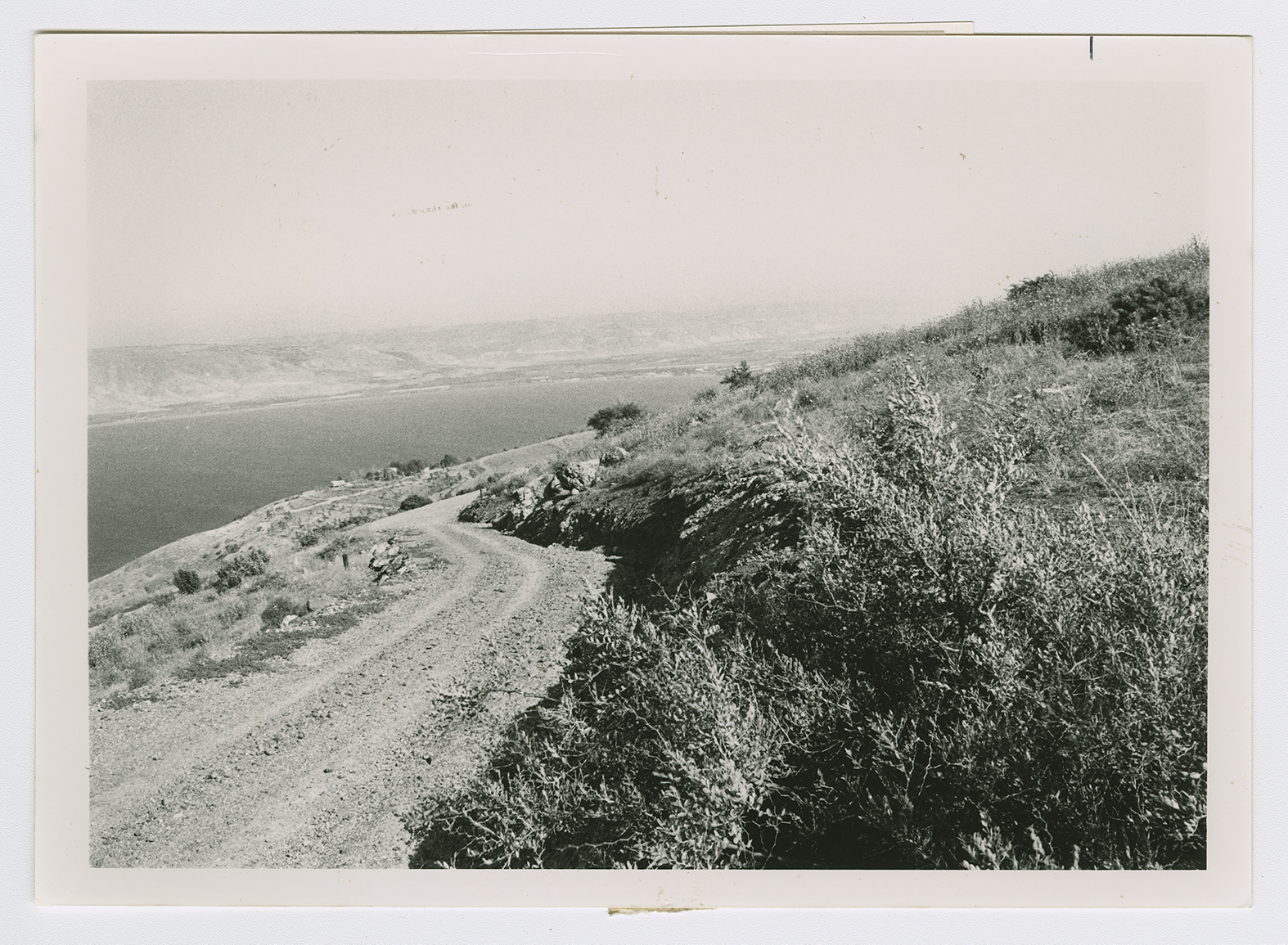
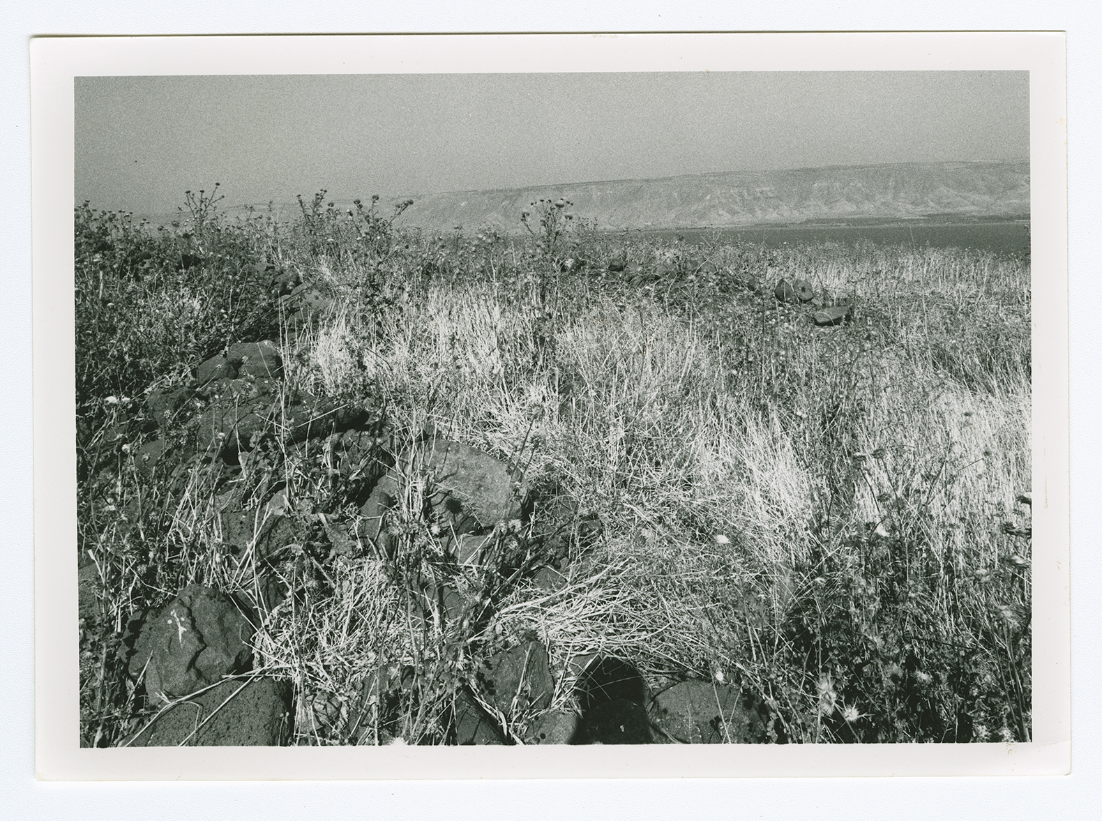
The village was located on a hilltop overlooking Lake Tiberias in lower eastern Galilee. Northeast of it, a steep slope descended toward the edge of the lake. To the south, there was a moderately sloping plain. AI-Manara's twin village of Nasir aI-Din lay about 3 km to the northwest. A secondary road linked the village to a highway in the northwest that led to Tiberias. The name al-Manara, which means "lighthouse" in Arabic, may have been derived from the name of Kefar Menori, which was located on the same spot during the Roman period. It was known as Menan by the Crusaders. The village site was a small, square area in which houses were crowded closely together. Its residents were Muslims. The village was close to several springs, including a group of hot springs which lay 1.5 km to the northeast, on the shores of Lake Tiberias. The people of al-Manara worked in agriculture and livestock breeding. Their main agricultural products were grain, watermelons, and tobacco. In 1944/45 a total of 4,172 dunums of the land of the two villages was allocated to cereals. The village was an archaeological site that contained the ruins of houses. Archaeological remains were also found at Khirbat al-Manara (200241) and Khirbat Sarjuna (198241).
The village fell in early March 1948, during an attack that preluded the capture of Tiberias. The assault 'precipitated the evacuation' of the village, according to Israeli historian Benny Morris. Eyewitnesses, who related that the village was attacked by Haganah forces on 2 March, provided further details to Palestinian historian Nafez Nazzal. They said that Zionist soldiers chased the villagers out, destroyed some houses, and left leaflets behind warning the inhabitants not to return because the village had been mined. The attack greatly demoralized the residents of Tiberias. It was also the first step in the isolation of the city, cutting it off from the south and increasing its sense of beleaguerment. Tiberias itself was not captured until the following month.
There are no Israeli settlements on village lands. The closest settlement is Poriyya (201236), built in 1949 to the south.
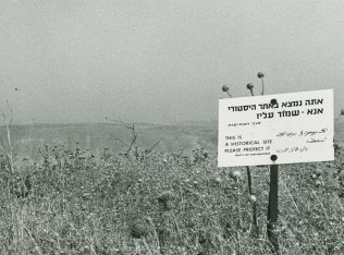
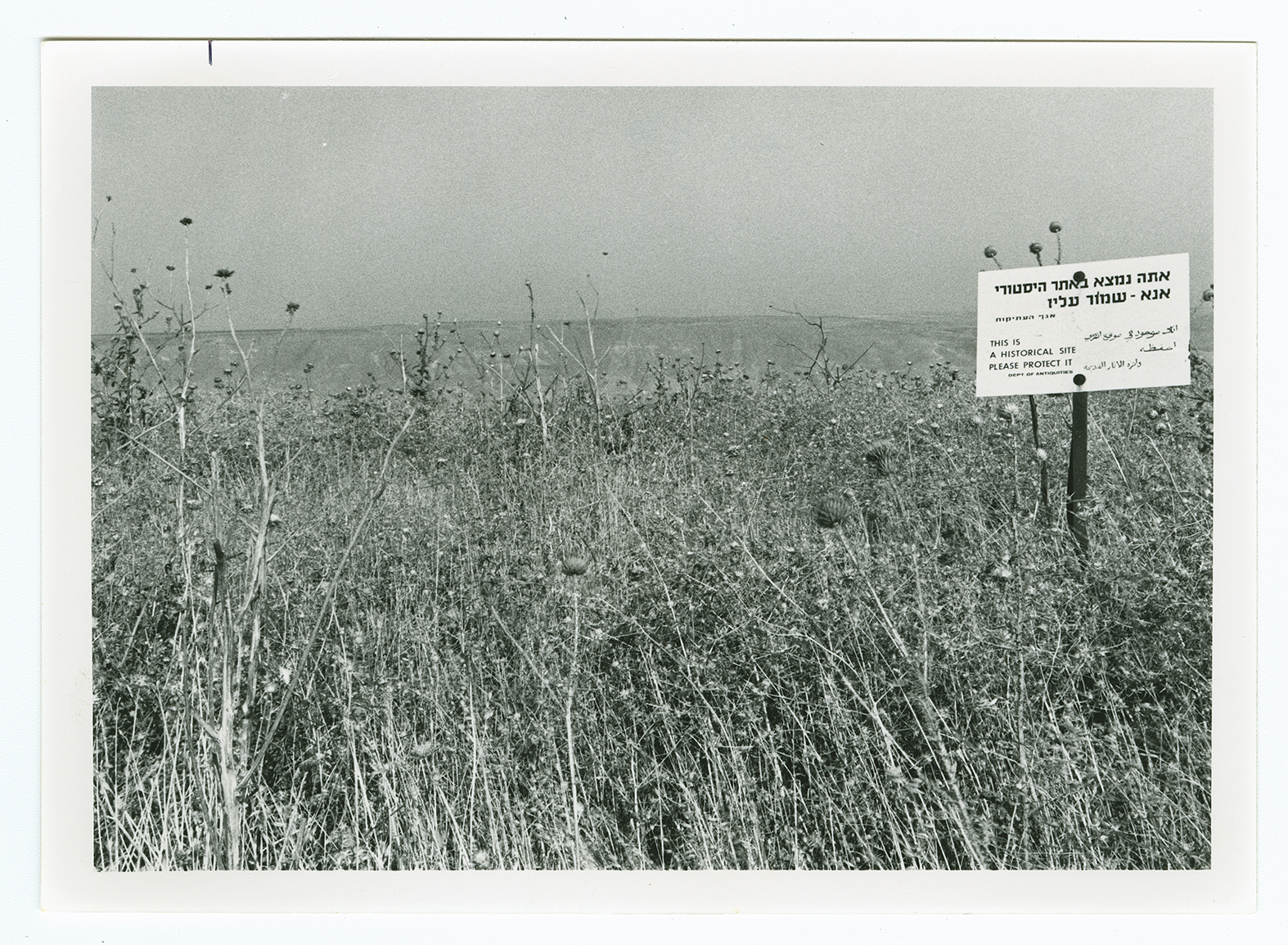
The site has been levelled and is strewn with pieces of black stone. At its northern edge are walls of dark stone, with doum-palm trees growing in their midst. At the Site, a sign (in Arabic, Hebrew, and English) reads, "This is a historical site, please protect it" (see photos).
