| Year | Arab | Total |
|---|---|---|
| 1931 | 55 | 55 |
| 1944/45 | 20 | 20 |
| Year | Arab | Public | Total |
|---|---|---|---|
| 1944/45 | 1071 | 21 | 1092 |
| Use | Arab | Public | Total | ||||||||||||
|---|---|---|---|---|---|---|---|---|---|---|---|---|---|---|---|
|
500 | 17 | 517 (47%) | ||||||||||||
|
571 | 4 | 575 (53%) |
The village stood on the northwestern slope of a hill on the coastal plain. One could see the Mediterranean, to the west, and Tulkarm, to the north, from the village. It was located north of the town of al-Tayyiba, and was linked to this town by a secondary road. A side road also linked Fardisya to the Tulkarm-Qalqilya highway, which ran west of the village. The village was identified with a Crusader site known as Phardesi. In 1596, Fardisya was a village in the nahiya of Bani Sa'b (liwa' of Nablus) with a population of eighty-three. It paid taxes on a number of crops, including wheat, barley, and olives, as well as on other types of produce, such as goats and beehives. In the late nineteenth century, Fardisya was a small village near the edge of a group of hills.
The village houses were built along the roads to the west and south to form a triangle. A mosque named after a religious teacher, Shaykh Musa, was located on the western outskirts of the village. A spring to the north provided the villagers with drinking water. Wells were also found in the vicinity of the village. In 1944/45 a total of 384 dunums was allocated to cereals; 187 dunums were irrigated or used for orchards, of which 150 dunums were planted with olive trees.
The villages in this section of the coast came under increasing pressure in April and early May 1948 from Haganah and Irgun attacks and expulsion orders. Although the events that occurred at Fardisya (and a cluster of nearby villages) are not clearly known, it is likely that its inhabitants were displaced some time before or during early April at the latest. The village's location in an area of heavy Jewish settlement would have made it prone to attacks and other forms of intimidation. By mid-May the Haganah had fulfilled its aim of 'clearing' all Arab inhabitants from the coastal plain between Tel Aviv and Zikhron Ya'aqov, a settlement south of Haifa.
There are no Israeli settlements on village land. Sha'ar Efrayim, built in 1953 to the north of the site on land that had traditionally belonged to the village of Far'un, is close to the village lands of Fardisya.
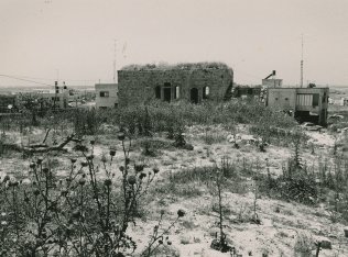
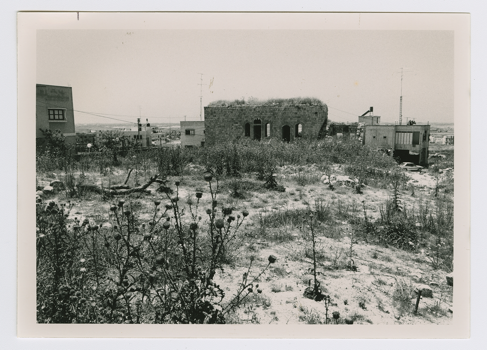
With one exception, all of the houses have been levelled, and rubble is scattered throughout the site, especially around the one house that has not been destroyed. This house is rectangular and has an eastern arched entrance and arched windows. One of its rooms is partly destroyed; its ceiling is gone. On the western side, one can see a tomb with a headstone that bears a Qur'anic inscription. Northwest of this tomb, the village cemetery is visible. Houses from the nearby Arab town of al-Tayyiba now stand close to the site of Fardisya.

