| Year | Arab | Total |
|---|---|---|
| 1931 * | 559 | 559 |
| 1944/45 ** | 740 |
| Year | Arab | Jewish | Public | Total |
|---|---|---|---|---|
| 1944/45 * | 4506 | 10384 | 4776 | 19666 |
| Use | Arab | Jewish | Public | Total | ||||||||||||||||||||
|---|---|---|---|---|---|---|---|---|---|---|---|---|---|---|---|---|---|---|---|---|---|---|---|---|
*includes Beyt Yahoshu'a, Kefar Netter, Tell Yitzchaq **includes Beyt Yahoshu'a, Kefar Netter, Tell Yitzchaq |
431 | 1425 | 4618 | 6474 (33%) | ||||||||||||||||||||
*includes Beyt Yahoshu'a, Kefar Netter, Tell Yitzchaq **includes Beyt Yahoshu'a, Kefar Netter, Tell Yitzchaq ***includes Beyt Yahoshu'a, Kefar Netter, Tell Yitzchaq |
4075 | 8959 | 158 | 13192 (67%) |
The village stood on level terrain on the coastal plain, south of Khirbat Bayt Lid and Bayyarat Hannun. Coastal sands crept deep into the middle and south sections of the village and formed rugged sand dunes. Secondary roads linked the village to the main Jaffa-Haifa highway. The village was located on what was originally part of the large Arsuf forest. The land of the village had been cleared of trees by the villagers of Kafr Sur who lived on the land seasonally to cultivate it. Wells and springs were abundant in the northern and eastern parts of the forest. The villagers, most of whom were Muslims, planted orange trees on 1,363 dunums of their land. In addition, they grew grain, watermelons, and pistachios. In 1944/45 a total of 1,333 dunums was devoted to citrus and bananas and 2,700 dunums were allotted to cereals; 42 dunums were irrigated or used for orchards.
The circumstances of the occupation of Ghabat Kafr Sur (one of a cluster of villages on the coast east of Tulkarm) are unclear. The Haganah General Staff came to a decision to 'secure' the entire coastal area between Tel Aviv and the settlement of Zikhron Ya'aqov (a swath of about 60 km) by driving out all Arab inhabitants before 15 May 1948. In April and the first half of May, many communities in this area were attacked and/or expelled, or fled in fear. Israeli historian Benny Morris writes that villagers in nearby Khirbat Bayt Lid fled out of 'fear and isolation' on 5 April. The location of this village near the large Jewish settlement of Netanya probably increased tension and made it easy to attack. By mid-May, this whole stretch of coastline had been rendered Arab-free.'
Zionists established Beyt Yahoshu'a and Tel Yitzchaq in 1938, on lands that had been purchased by the Jewish National Fund but that had traditionally belonged to the village. Kefar Netter was built one year later, about 2 km north of Beyt Yahoshu'a.
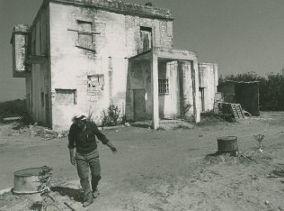
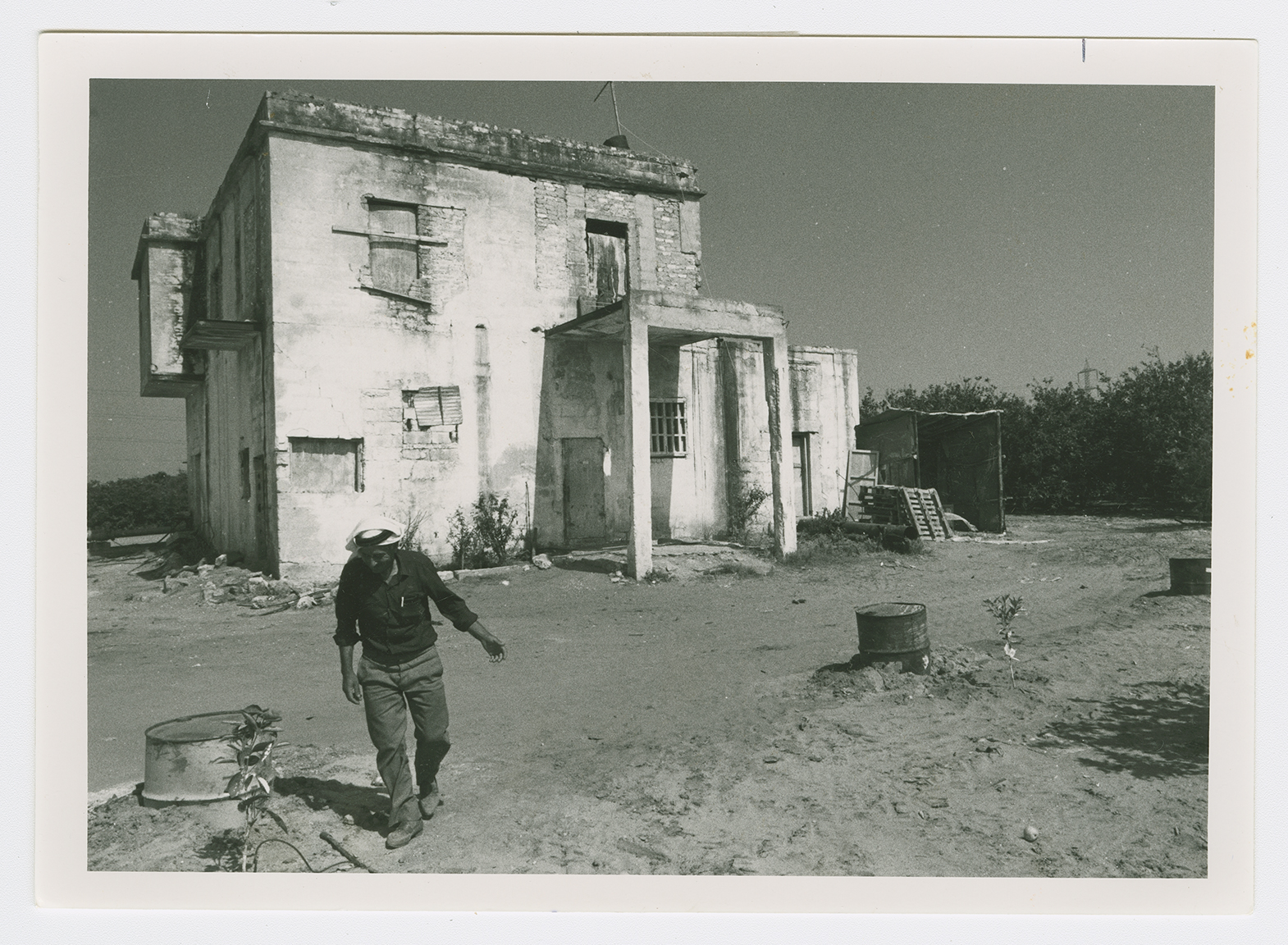
A considerable portion of the site consists of sand dunes overgrown with wild vegetation. Several large eucalyptus trees also grow on the site. The remains of three large Arab houses are visible in the midst of newly planted orange groves in the east and northeastern parts of the site. They are used by Israelis as agricultural warehouses.

