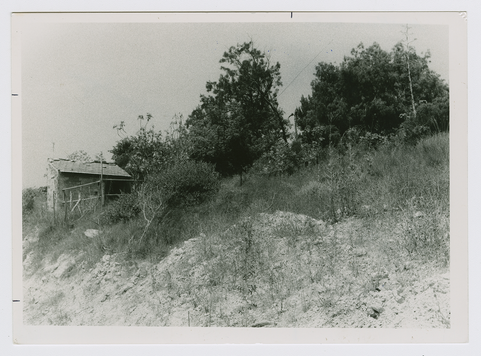
The village was situated on a hilltop, overlooking the Mediterranean to the west and a wide expanse of open land to the east. IjIil al-Shamaliyya (northern Ijlil) was approximately 100 m north of its twin village, IjIil al-Qibliyya (southern IjIil). It may have been named after a Shaykh Salih 'Abd al-Jalil. It was laid out in a rectangular pattern that stretched from north to south along the Jaffa–Haifa coastal highway. Its houses were made of adobe bricks or concrete. The population of IjIil al-Shamaliyya was predominantly Muslim. The village had a school, founded in 1945, that also served Ijlil al-Qibliyya; sixty-four students were enrolled in the school's founding year. It also had a mosque and a number of small shops. The villagers cultivated fruit, grain, and vegetables. In 1944/45 a total of 183 dunums was devoted to citrus and bananas and 1,574 dunums were allotted to cereals; 13 dunums were irrigated or used for orchards. In addition to agriculture, the villagers engaged in fishing. An archaeological site in the village contained evidence of tessellated pavements, building foundations, and quarrying.

