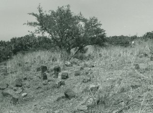
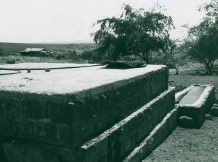
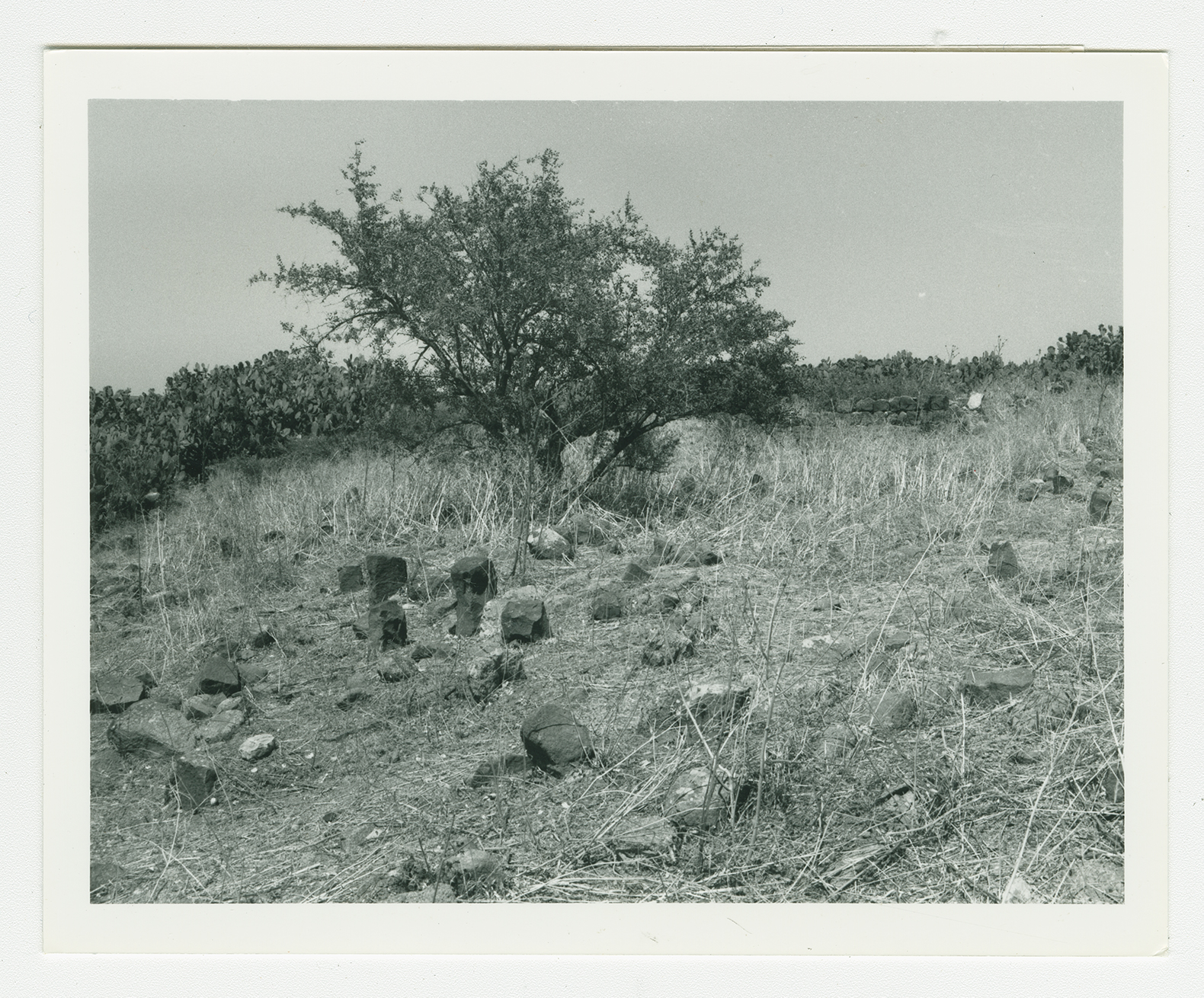
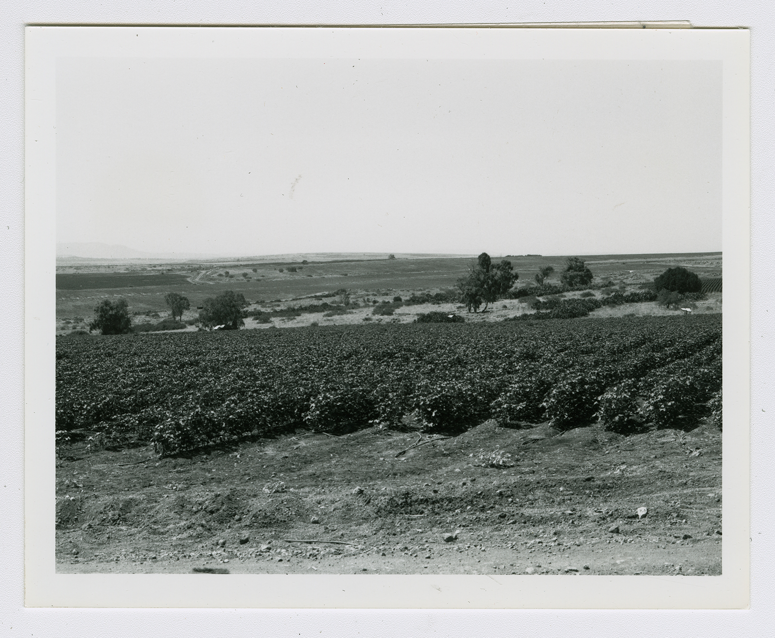
The village stood on flat terrain that sloped slightly southwestward. The village site was bounded on the northwest by Wadi al-Ruduh and on the southeast by Wadi al-Bayadir. A secondary road linked it to a highway leading to Samakh, to the north, and Baysan, to the south; other secondary roads and narrow paths connected it to neighboring villages. The Crusaders called it Losserin. In 1596, Sirin was a village in the nahiya of Jenin (liwa' of Lajjun), with a population of twenty-two. It paid taxes on a number of crops, including wheat and barley, as well as on other types of produce, such as goats and beehives. ![[Hut. and Abd.:157]](/sites/default/files/Ref_1.JPG) The British traveler Buckingham, who toured the area in the early nineteenth century, described it as a village of about thirty to forty houses with half a dozen Bedouins' tents close to it.
The British traveler Buckingham, who toured the area in the early nineteenth century, described it as a village of about thirty to forty houses with half a dozen Bedouins' tents close to it. ![[Buckingham 1821:449]](/sites/default/files/Ref_1.JPG)
In the late nineteenth century, Sirin was surrounded by hedges of prickly pear; its 100 residents cultivated 35 faddans (1 faddan
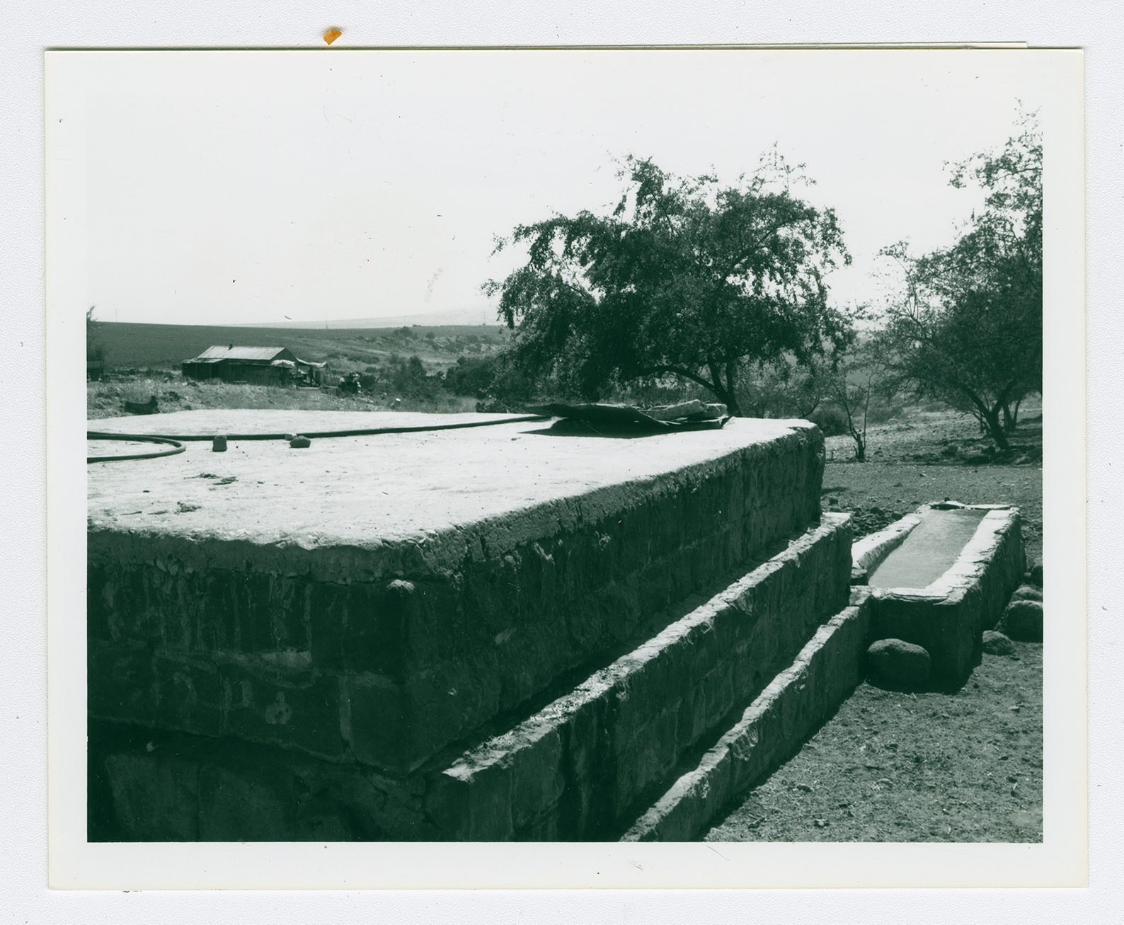
= 100-250 dunums). ![[SWP (1881) II:86]](/sites/default/files/Ref_1.JPG) The houses were originally built at the intersection of the roads linking it to other villages, but as the village expanded its newer houses stretched out in a northwest-southeast direction. Of the 810 people who inhabited the village in 1945, 190 were Christians and 620 were Muslims. Sirin had one elementary school, which was for boys. Agriculture was the mainstay of the village economy, the chief crops being grain and olives. In 1944/45 a total of 14,854 dunums was allocated to cereals; 413 dunums were irrigated or used for orchards, 109 dunums of which were planted with olive trees. A Greek inscription was found in the house of Zayd al-Shihada. Other remains from the Byzantine period include a mosaic pavement and a vaulted spring with the fragment of a cornice.
The houses were originally built at the intersection of the roads linking it to other villages, but as the village expanded its newer houses stretched out in a northwest-southeast direction. Of the 810 people who inhabited the village in 1945, 190 were Christians and 620 were Muslims. Sirin had one elementary school, which was for boys. Agriculture was the mainstay of the village economy, the chief crops being grain and olives. In 1944/45 a total of 14,854 dunums was allocated to cereals; 413 dunums were irrigated or used for orchards, 109 dunums of which were planted with olive trees. A Greek inscription was found in the house of Zayd al-Shihada. Other remains from the Byzantine period include a mosaic pavement and a vaulted spring with the fragment of a cornice.
The British traveler Buckingham, who toured the area in the early nineteenth century, described it as a village of about thirty to forty houses with half a dozen Bedouins' tents close to it.
The houses were originally built at the intersection of the roads linking it to other villages, but as the village expanded its newer houses stretched out in a northwest-southeast direction. Of the 810 people who inhabited the village in 1945, 190 were Christians and 620 were Muslims. Sirin had one elementary school, which was for boys. Agriculture was the mainstay of the village economy, the chief crops being grain and olives. In 1944/45 a total of 14,854 dunums was allocated to cereals; 413 dunums were irrigated or used for orchards, 109 dunums of which were planted with olive trees. A Greek inscription was found in the house of Zayd al-Shihada. Other remains from the Byzantine period include a mosaic pavement and a vaulted spring with the fragment of a cornice.
