| Year | Arab | Total |
|---|---|---|
| 1944/45 | 60 | 60 |
| Year | Arab | Public | Total |
|---|---|---|---|
| 1944/45 | 2381 | 552 | 2933 |
| Use | Arab | Public | Total | |||||||||
|---|---|---|---|---|---|---|---|---|---|---|---|---|
|
1954 | 552 | 2506 (85%) | |||||||||
|
427 | 427 (15%) |
The village stood on a rocky hill between the peaks of Mount al-Jarmaq (1208 m) and Mount 'Adathir (1009 m), two of the highest mountains in Palestine. It was 2 km east of the Druze village of Hurfaysh. Three wadis passed next to the village, supplying it with water during the rainy season and making up part of its arable land during the dry season. Ghabbatiyya obtained additional surface water from a number of springs and a well. Classified as a hamlet by the Mandate-era Palestine Index Gazetteer, it was laid out in an east-west direction along the northern side of a secondary road that linked it to other villages. This secondary road was connected to highways that led to Safad and the Jewish settlement of Nahariyya on the Mediterranean. The entire village population was Muslim, and the economy relied heavily on agriculture and animal husbandry. In 1944/45 a total of 412 dunums was allocated to cereals; 15 dunums were irrigated or used for orchards.
Ghabbatiyya was occupied on 30 October 1948, during the second phase of Operation Hiram (see 'Arab al-Samniyya, Acre sub-disctrict ),just as forces on the eastern and western fronts converged in a pincer movement at nearby Sa'sa' around noon that same day. The following day, an Israeli army spokesman, quoted in the New York Times, said that several hundred of the area's Arab Liberation Army garrison were killed, and another several hundred taken prisoner.
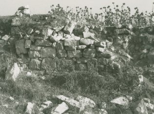
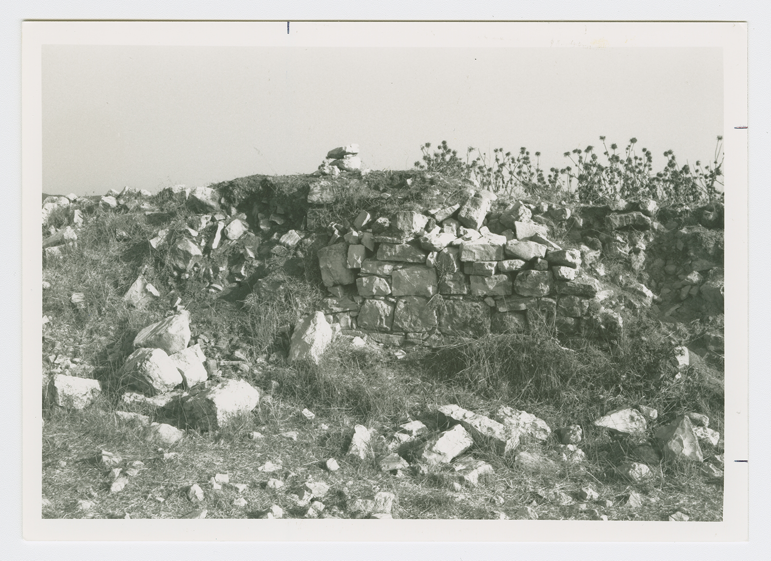
The site is deserted and covered with grass, a few fig trees, stones, and the ruins of stone houses. The walls of one destroyed house still stand. The surrounding land is used by Israelis for grazing and forestry, and woods cover nearby Mount 'Adathir.

