| Year | Arab | Total |
|---|---|---|
| 1931 * | 432 | |
| 1944/45 ** | 890 |
| Year | Arab | Jewish | Public | Total |
|---|---|---|---|---|
| 1944/45 * | 1838 | 294 | 36 | 2168 |
The village was built in the foothills of the Upper Galilee Mountains, which slope towards the al-Hula Plain. It was just west of the al-Mutilla-Safad-Tiberias highway. It benefitted from the presence of many springs, to the north and to the northeast. Together these springs formed the al-Barid River, which ended in the al-Hula marshland. 'Arab al-Zubayd's name suggests that its residents were members of the al-Zubayd Bedouin tribe. The entire village population was Muslim. Its economy was based on grain cultivation. In 1944/45 a total of 1,761 dunums was allocated to cereals.
The location of the village suggests that it fell within the scope of Operation Yiftach (see Abil al-Qamh, Safad sub-disctrict). Israeli historian Benny Morris indicates that its population feared the possibility of a Jewish attack and fled on 20 April. If so, that would have been at the very beginning of the operation, prior to the attack on Safad and before the occupation of any villages in the area.
The subsequent fate of the village is quite revealing. Several months later, in August 1948, Golani Brigade units were preparing to blow up the village when a complaint arrived from the members of nearby Kibbutz Sha'ar ha-'Amaqim, who objected to the destruction of 'Arab al-Zubayd. Morris suggests that they may have complained because they were associates of Aharon Cohen, the director of the Arab Department of the left-wing Mapam party. The matter was even brought up in an Israeli cabinet meeting. Prime Minister Ben-Gurion denied responsibility, saying: 'No permission was given [by me] to any commander to destroy houses.' He promised to investigate, according to Morris. But the fuss raised by Mapam succeeded only in postponing the destruction of the village for a few months. It did not bring about the return of the villagers, and as Morris writes, 'in the absence of such a return, the village was doomed.'
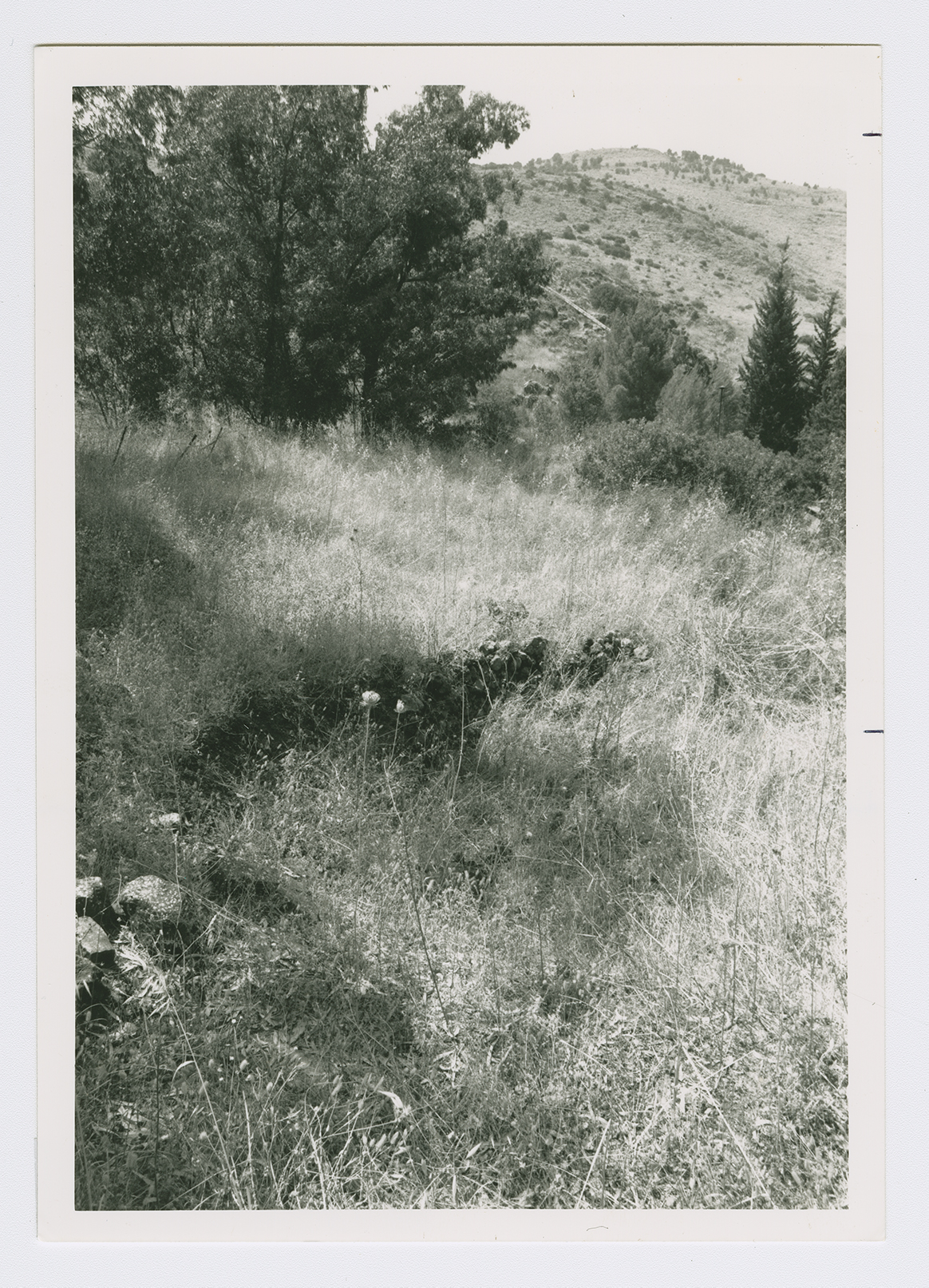
All that remains of 'Arab al-Zubayd is scattered rubble, buried under a thicket of woods, grass, and thorny plants. Irrigation works tap the village's water resources. Animals graze in the mountainous portion of the land near the site. Some land in the plain that borders the site has been converted into an Israeli nature reserve, while the rest is cultivated by Israeli farmers.

