| Year | Arab | Total |
|---|---|---|
| 1931 | 345 | |
| 1944/45 | 490 | 490 |
| Year | Arab | Jewish | Public | Total |
|---|---|---|---|---|
| 1944/45 | 6827 | 1082 | 194 | 8103 |
| Use | Arab | Jewish | Public | Total | |||||||||||||||
|---|---|---|---|---|---|---|---|---|---|---|---|---|---|---|---|---|---|---|---|
|
1465 | 197 | 194 | 1856 (23%) | |||||||||||||||
|
5362 | 885 | 6247 (77%) |
The village was located on hilly terrain and overlooked wide plains to the west, north, and south. A secondary road that ran north linked the village to a highway that connected Gaza to the Ramla-Jerusalem highway. Idnibba may have been built on the site of the Roman settlement of Danuba. The Crusaders also called it Danuba. In 1596, Idnibba was a village in the nahiya of Gaza (liwa' of Gaza) with a population of 198. It paid taxes on a number of crops, including wheat, barley, and sesame. Taxes were also paid on other types of produce such as goats and beehives. ![]()
In the late nineteenth century, Idnibba was described as a village built of stone and mud and situated on high ground. It was surrounded by cactus hedges and had a fig tree orchard to the south. ![]() The village houses were clustered close together. Its population was predominantly Muslim. Most villagers worked in agriculture and animal husbandry, Idnibba's lands providing excellent grazing, especially in the spring. Agriculture was based on grain, although olives were also grown. In 1944/45 a total of 5,277 dunums was planted in cereals; 85 dunums were irrigated or used for orchards, of which 64 dunums were used for olive cultivation. Three large khirbas lay in the vicinity; they contained the ruins of buildings, cisterns, caves, foundations, door lintels, and a rock-hewn wine press.
The village houses were clustered close together. Its population was predominantly Muslim. Most villagers worked in agriculture and animal husbandry, Idnibba's lands providing excellent grazing, especially in the spring. Agriculture was based on grain, although olives were also grown. In 1944/45 a total of 5,277 dunums was planted in cereals; 85 dunums were irrigated or used for orchards, of which 64 dunums were used for olive cultivation. Three large khirbas lay in the vicinity; they contained the ruins of buildings, cisterns, caves, foundations, door lintels, and a rock-hewn wine press.
Israeli troops belonging to the Giv'ati Brigade pushed through to Idnibba during the Ten Days between the two truces (8-18 July 1948). Israeli historian Benny Morris identifies it as one of the villages that fell on 9-10 July during Operation An-Far (see Bi'lin, Gaza sub-disctrict). ![]()
There are no Israeli settlements on village lands. The settlement of Kefar Menachem (134126), built in 1937, is about 2 km southwest of the village site. Charuvit (135127) was built about 1 km to the west of the former village in the early 1950s ![]() ; it served as a transit camp for new Jewish immigrants. It is no longer inhabited.
; it served as a transit camp for new Jewish immigrants. It is no longer inhabited.
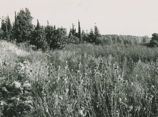
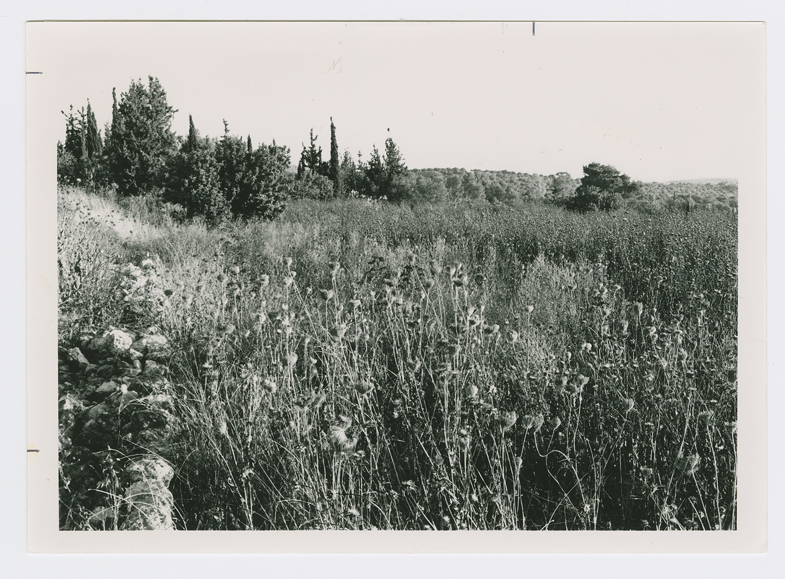
The site and the surrounding lands have been converted into pastures and woods. A large area has been levelled by bulldozers. Demolished walls and the remnants of stone houses lie at various points on the site. There are natural caves with artificial, arched entrances on the upper, western edge of the site.