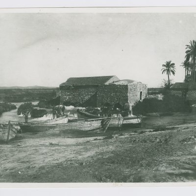
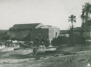
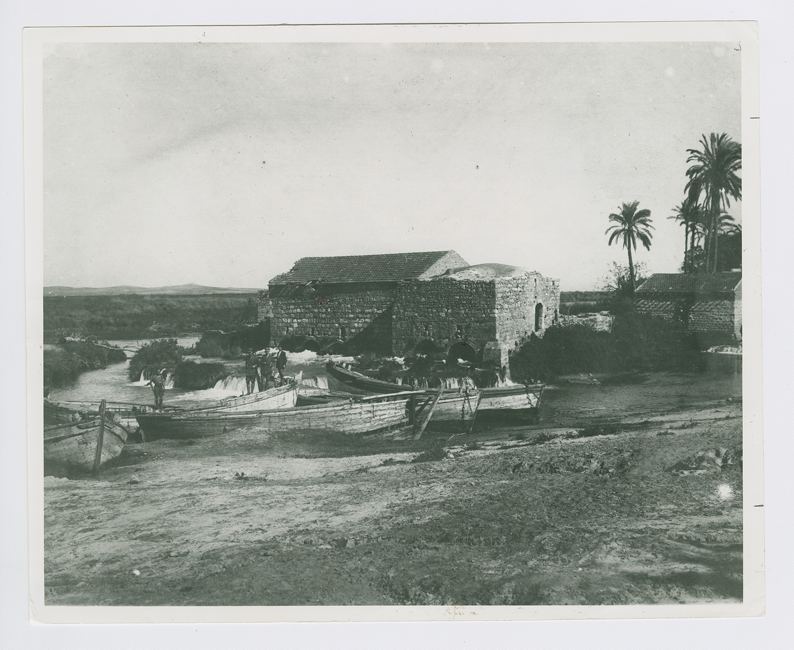
The village was situated on a low hill on the central coastal plain, on the south bank of the al-'Awja River. It was linked to Jaffa and Haifa by the highway connecting the two cities. It was only 200 m from Tall Jarisha, an archaeological site dating to the Early Bronze II period (2800–2600 B.C.) In the Middle Bronze period (2000–1500 B.C.) the site became a fortified Hyksos town. The Philistine settlement that succeeded it dated to the twelfth century B.C. In 1596 Jarisha was a village in the nahiya of Bani Sa'b (liwa' of Nablus), with a population of 121. It paid taxes on buffalo, goats, and beehives. ![[Hut. and Abd.:139]](/sites/default/files/Ref_1.JPG) The village may have been called Jarisha (from the Arabic verb jarasha, 'to mill') because it was located near grain mills. In the late nineteenth century, Jarisha was a village built of adobe bricks and flanked by an olive grove. It had its own well and a mill (see photo).
The village may have been called Jarisha (from the Arabic verb jarasha, 'to mill') because it was located near grain mills. In the late nineteenth century, Jarisha was a village built of adobe bricks and flanked by an olive grove. It had its own well and a mill (see photo). ![[SWP (1881) II:251]](/sites/default/files/Ref_1.JPG)
The modern population was entirely Muslim. With its convenient location, near woods, and its cafes, parks, and gardens, the village attracted Jaffans who came for recreation. Its outline was rectangular and its houses were made of cement, stone, and adobe. The residents worked in service industries but also grew fruits and vegetables; in 1944/45 a total of 302 dunums of village land was devoted to citrus and bananas and 89 dunums were irrigated or used for orchards.
The village may have been called Jarisha (from the Arabic verb jarasha, 'to mill') because it was located near grain mills. In the late nineteenth century, Jarisha was a village built of adobe bricks and flanked by an olive grove. It had its own well and a mill (see photo).


