| Year | Arab | Jews | Total |
|---|---|---|---|
| 1931 | 176 | ||
| 1944/45 * | 230 | 100 | 330 |
| Year | Arab | Jewish | Public | Total |
|---|---|---|---|---|
| 1944/45 * | 377 | 942 | 267 | 1586 |
| Use | Arab | Jewish | Public | Total | |||||||||||||||
|---|---|---|---|---|---|---|---|---|---|---|---|---|---|---|---|---|---|---|---|
*includes Beyt Hillel **includes Beyt Hillel |
47 | 18 | 267 | 332 (21%) | |||||||||||||||
*includes Beyt Hillel **includes Beyt Hillel |
330 | 924 | 1254 (79%) |
The village was located on flat terrain next to the al-Hasibani River, in the northern section of the aI-Hula Plain. In the late nineteenth century, travelers described Lazzaza as a village built of adobe bricks and situated on a plain near a river. The population was about 70. The village had its own elementary school, in which 26 students were enrolled in 1945. Most of the residents of Lazzaza were Muslims. Their land was fertile and well-suited for agriculture, which was their main source of livelihood. Onions, corn, and fruits were their main crops, although they also raised live- stock, kept bees, and fished. In 1944/45 they allocated a total of 95 dunums to cereals; 235 dunums were irrigated or used for orchards.
The depopulation of Lazzaza is attributed to the 'whispering campaign' (a form of psychological warfare) that was devised by Palmach commander Yigal Allon and implemented during Operation Yiftach (see Abil al-Qamh, Safad sub-disctrict). According to Israeli historian Benny Morris, threats were conveyed to villagers in the eastern Galilee while Operation Yiftach was in progress. But there is some doubt as to the plausibility of this account. While the people of Lazzaza were reported to have fled on 21 May 1948, the 'whispering campaign' was implemented somewhat earlier, between 10 and 15 May, according to Allon himself.
The settlement of Beyt Hillel (206290) was established in 1940, just to the northwest ofthe village site but not on village land.
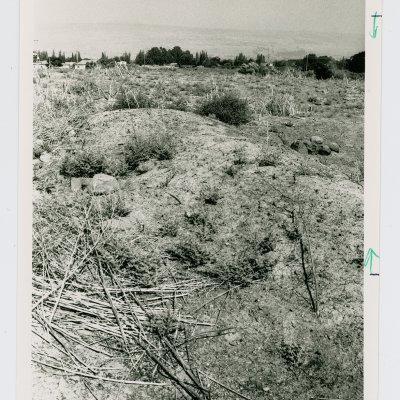
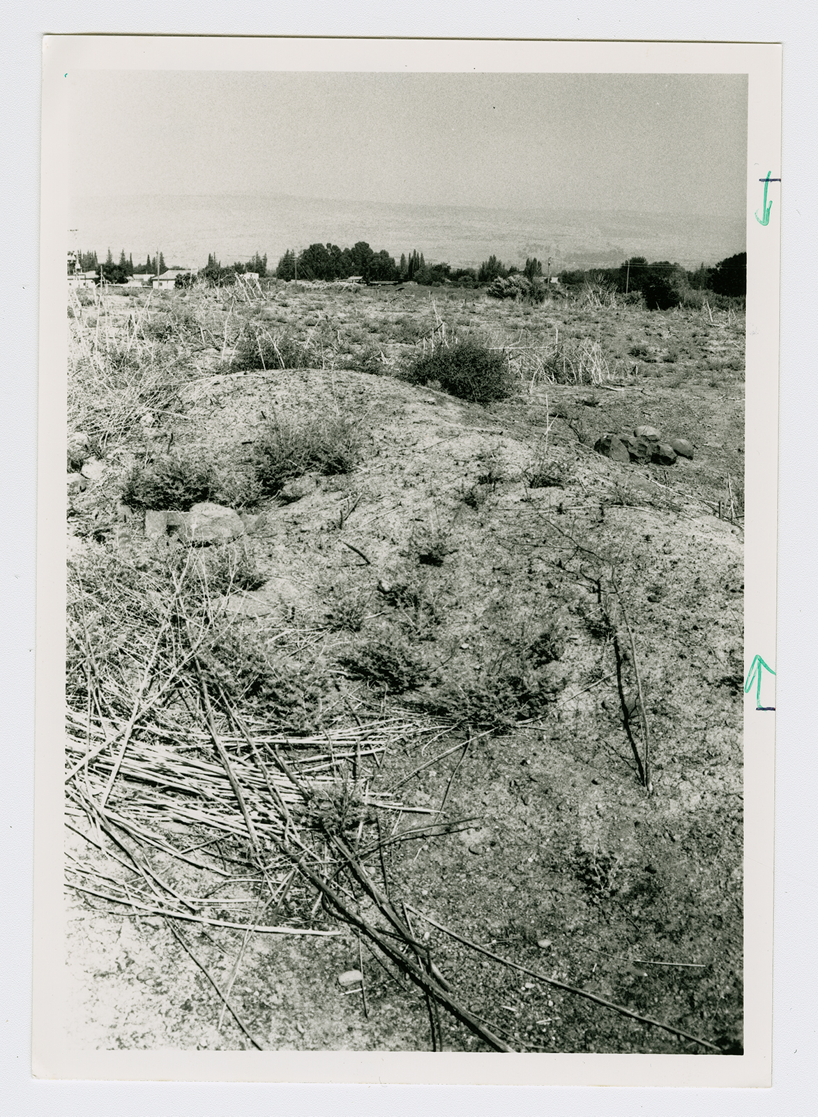
Only a few scattered stones remain on the village site. The surrounding lands are cultivated by the residents of Beyt Hillel.


