| Year | Arab | Total |
|---|---|---|
| 1931 | 94 | 94 |
| 1944/45 | 70 | 70 |
| Year | Arab | Public | Total |
|---|---|---|---|
| 1944/45 | 1262 | 536 | 1798 |
| Use | Arab | Public | Total | ||||||||||||
|---|---|---|---|---|---|---|---|---|---|---|---|---|---|---|---|
|
697 | 536 | 1233 (69%) | ||||||||||||
|
565 | 565 (31%) |
The village stood on a high mountain top and overlooked the predominantly Druze village of Hurfaysh, less than 1 km to the northeast. It was linked by dirt roads to the Safad-Tarshiha highway, about 3 km to the south, and by other roads to neighboring villages such as Sa'sa' and Hurfaysh. Travelers who visited the village in the late nineteenth century described Sabalan as a stone-built village situated on top of a high hill. The village, which surrounded the tomb of one Nabi (prophet) Sabalan, had a population of 100. The residents cultivated figs and olives. ![]()
Sabalan had a circular outline; the steep slopes that bordered it permitted expansion only on its northwestern side. Its houses were clustered closely together. Its entire population was Muslim; a mosque was located at the center of the village. In 1944/45 a total of 421 dunums was allotted to cereals; 144 dunums were irrigated or used for orchards. Archaeological artifacts such as rock-cut tombs were found in the center of the village near the tomb of al-Nabi Sabalan.
Sabalan was occupied on 30 October 1948, during Operation Hiram (see 'Arab al-Samniyya, Acre sub-disctrict), when Israeli forces captured Upper Galilee. The village was probably overrun as units of the Golani Brigade advanced northwestwards along the Suhmata‒Sa'sa' road. According to the History of the War of Independence, when the Golani's First Battalion reached Sa'sa', it met with units of the Sheva' (Seventh) Brigade, which had constituted the eastern flank of the same operation. ![]()
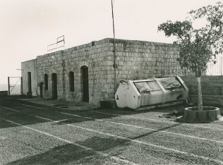
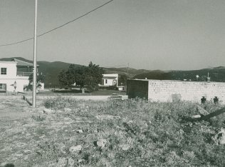
Only one village house and a well remain. The house is now occupied by the guard and caretakers of the shrine of al-Nabi Sabalan, which stands opposite the house (see photos). New buildings have been constructed for visitors to the shrine, which is sacred to the Druze.

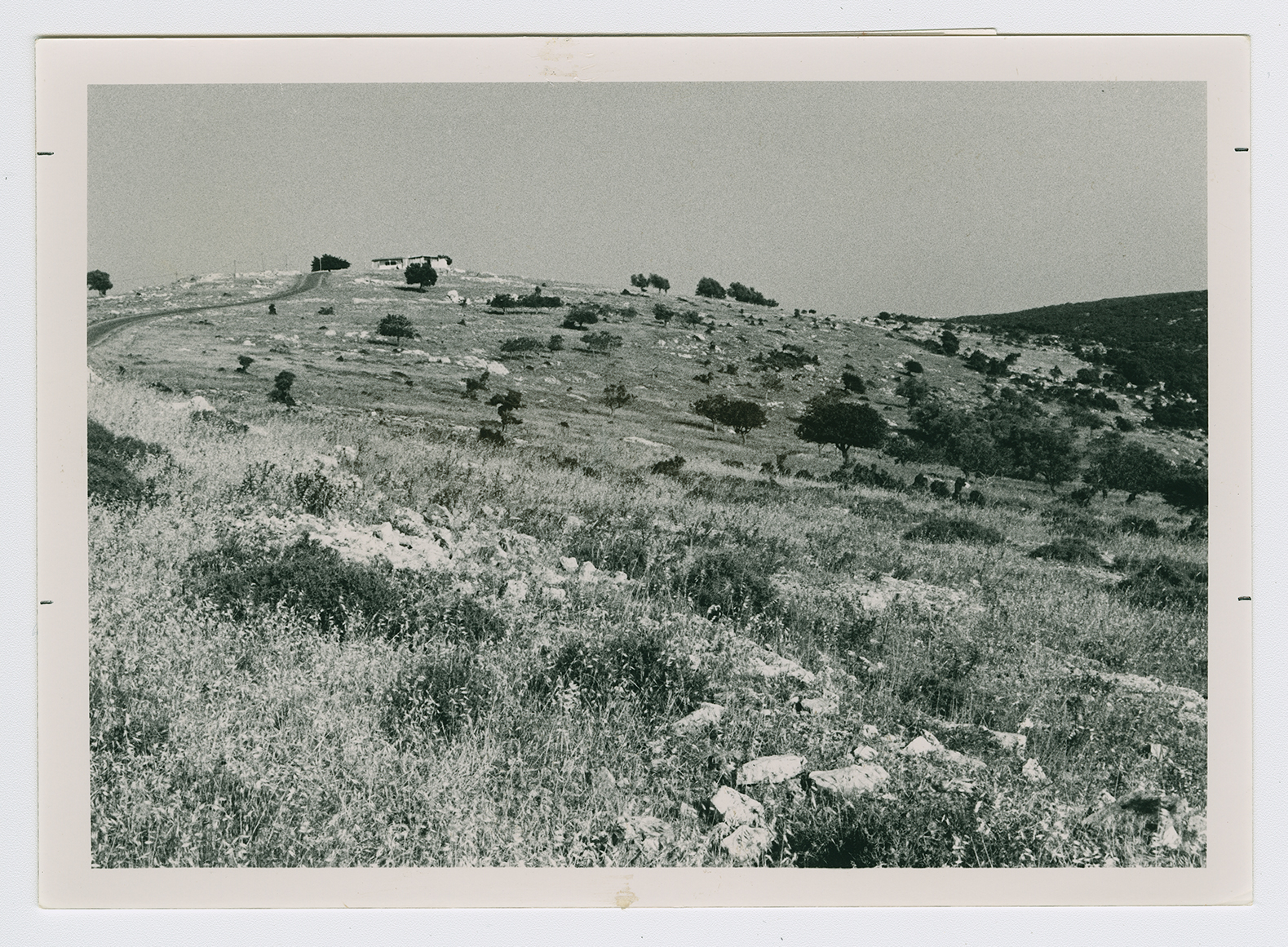
The village site from a distance. View from west to east.
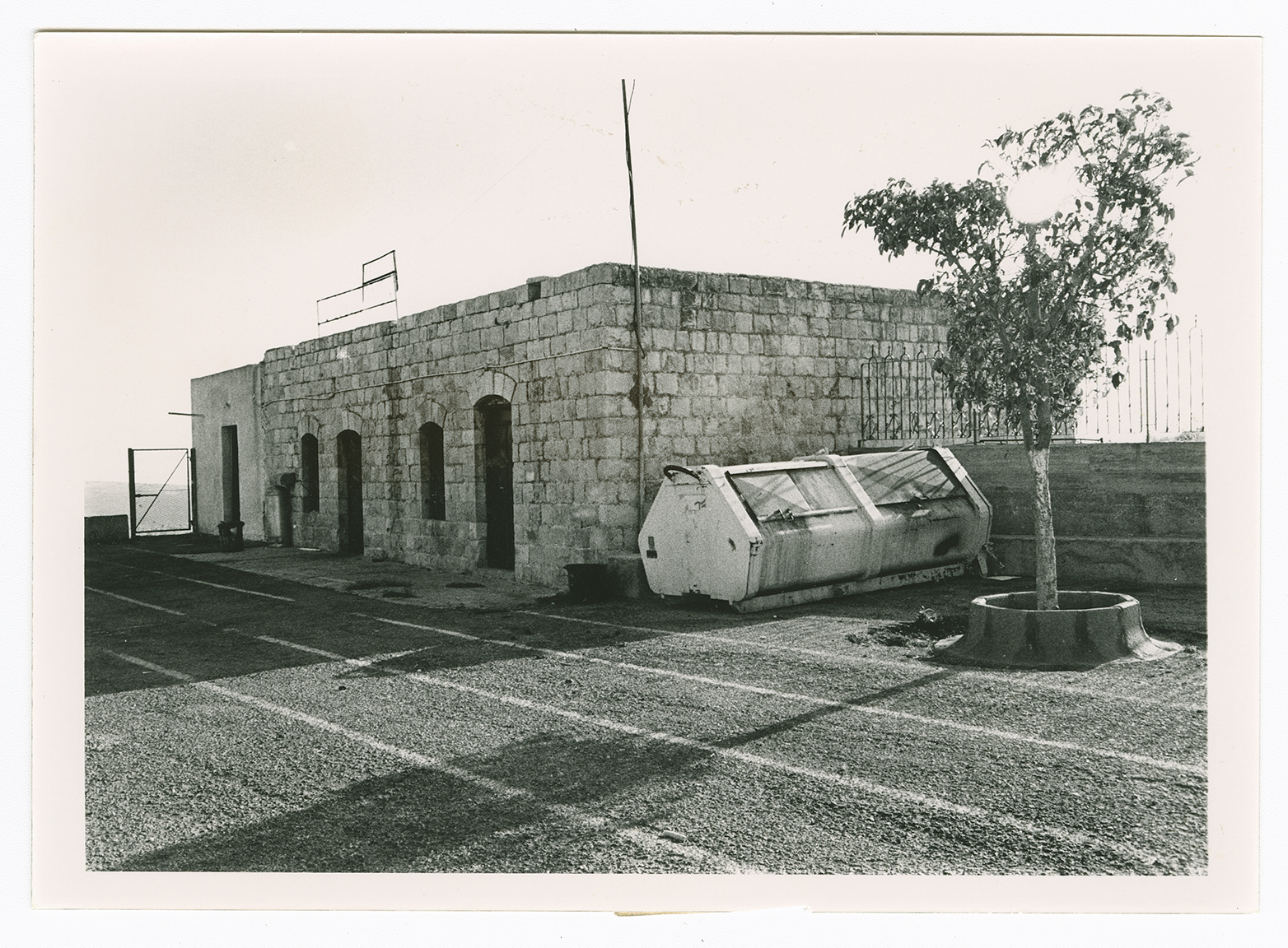
The only remaining village house, seen from the north.
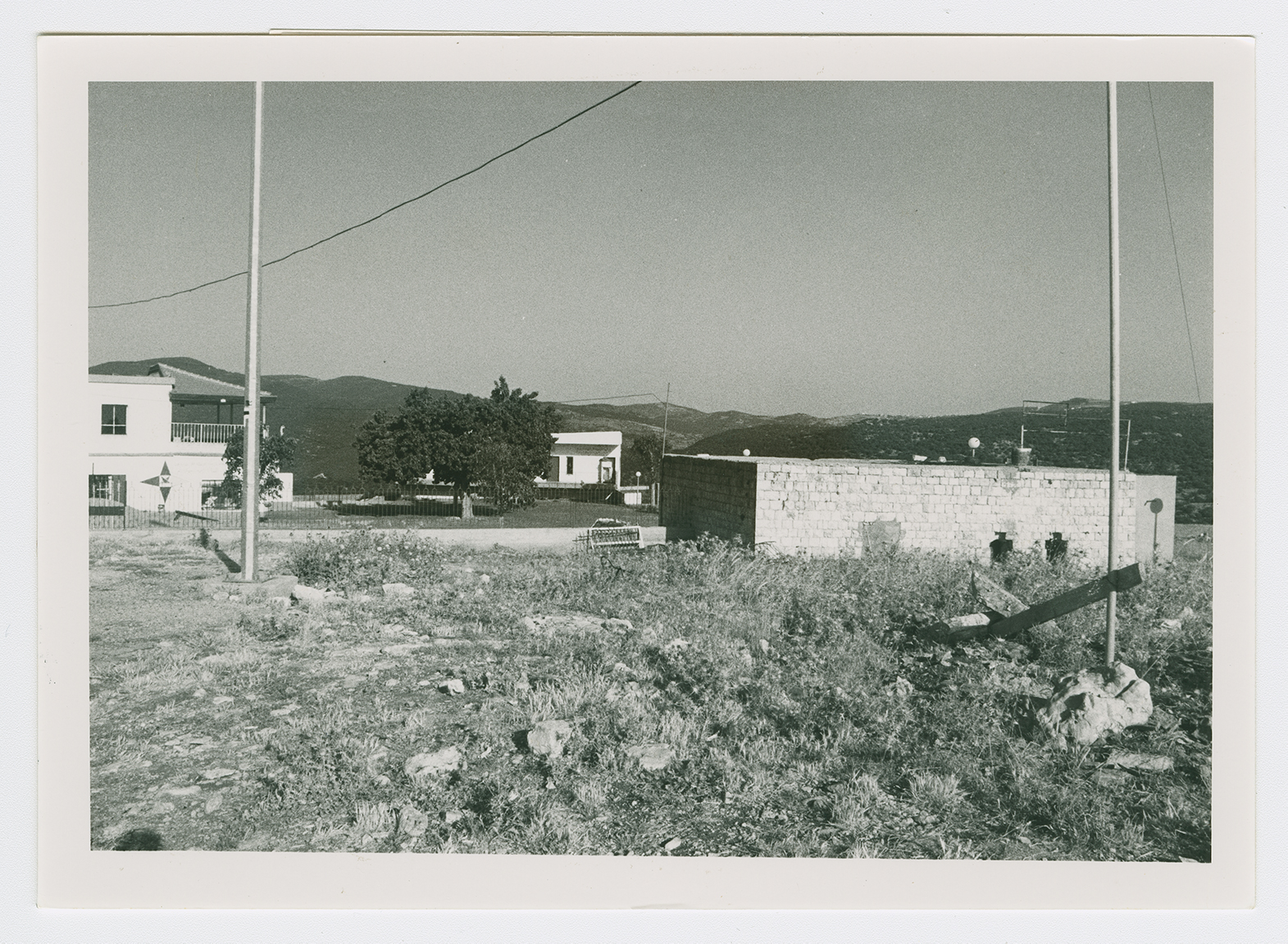
The shrine of Nabi Sabalan (middle distance) opposite the remaining village house. The guest house of the shrine is also visible (left).