| Year | Arab | Public | Total |
|---|---|---|---|
| 1944/45 | 4538 | 4538 |
| Use | Arab | Total | ||||||
|---|---|---|---|---|---|---|---|---|
|
2377 | 2377 (52%) | ||||||
|
2161 | 2161 (48%) |
The village was located on a westward-sloping hill and overlooked a wide expanse to the west, where the coastal plain could be seen by the naked eye. It was bordered on the north and south by two wadis that converged to form a single shallow wadi west of the site. Secondary roads linked Khirbat Zakariyya to Ramla and Lydda, and other roads and dirt paths connected it to several neighboring villages. Its houses were largely made of adobe brick. The population was predominantly Muslim. A spring at the north edge of the site provided water for domestic use. The residents worked mainly in animal husbandry and rainfed agriculture, cultivating grain, fruit, and vegetables. In 1944/45 a total of 2,161 dunums was planted in cereals. The village contained remains of a vaulted building, the foundations of other buildings, rock-cut cisterns, and a press, all evidence of its long history. A maqam (shrine) for a Nabi Zakariyya was located south of the site.
There are no Israeli settlements on village land, although the settlement of Mevo Modi'im (149149), built in 1964, is just northeast of the former village.
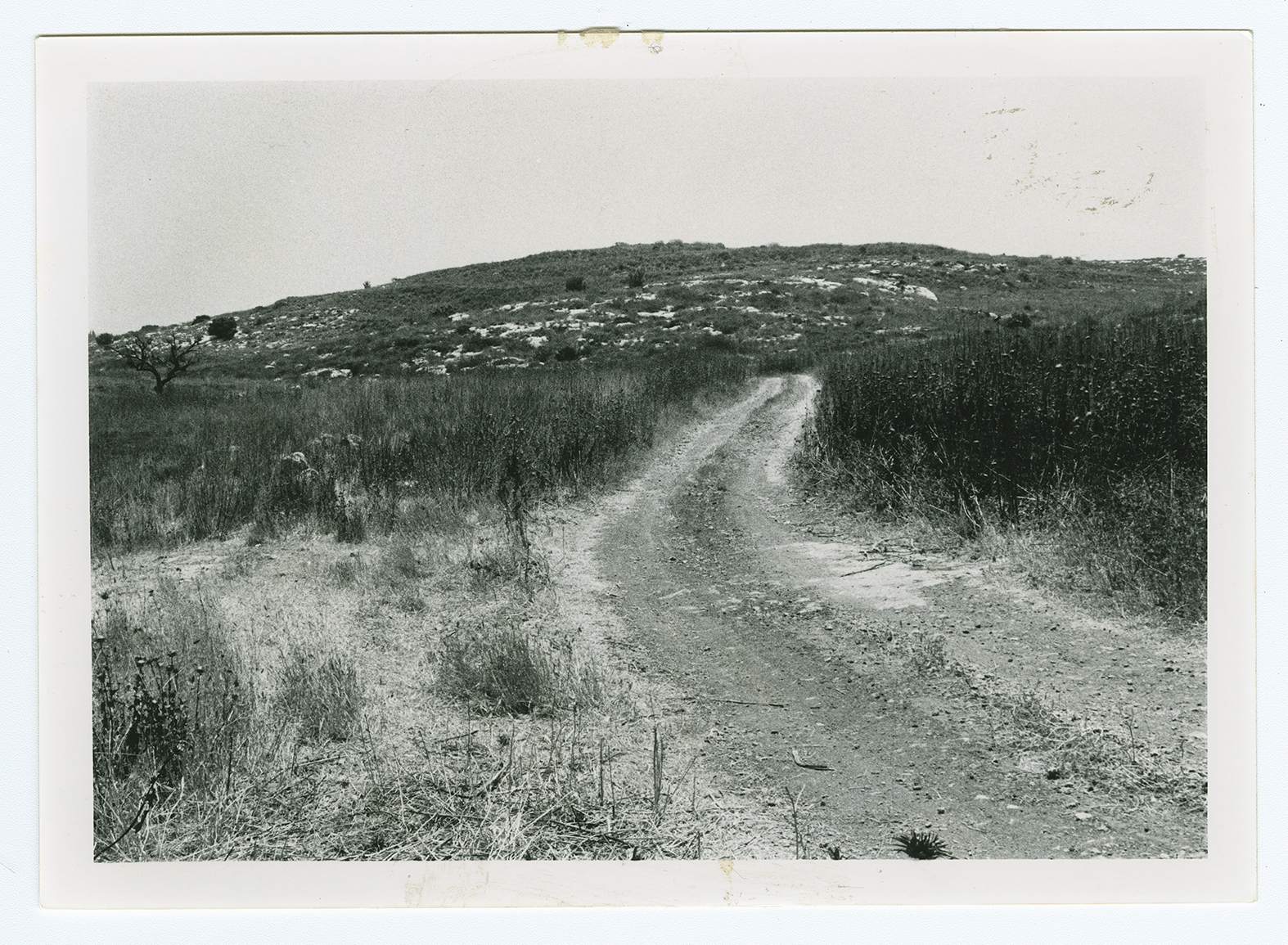
From a distance, the village appears as a bare hill overgrown with thorns and other wild vegetation (see photo). The site, which is used as a grazing area by Israelis, is strewn with stones. It is difficult to distinguish between the stones that are naturally found in the soil and those that once were parts of the houses. The remains of village wells and the cut stones that were used to cover them are visible.
Related Content
Violence
Operations Yoav and ha-Har in the South Put End to 2nd Truce
1948
15 October 1948 - 4 November 1948

