| Year | Arab | Total |
|---|---|---|
| 1931 | 153 | |
| 1944/45 | 210 |
| Year | Arab | Jewish | Public | Total |
|---|---|---|---|---|
| 1944/45 | 4229 | 4275 | 3 | 8507 |
| Use | Arab | Jewish | Public | Total | |||||||||||||||
|---|---|---|---|---|---|---|---|---|---|---|---|---|---|---|---|---|---|---|---|
|
3195 | 1845 | 3 | 5043 (59%) | |||||||||||||||
|
1034 | 2430 | 3464 (41%) |
The village stood on an uneven hill in the mountains of eastern lower Galilee, which was oriented along a southeast-northwest line and overlooked Lake Tiberias. It was linked by a dirt road to al-Shuna, the closest village, and by a dirt path to the road between Tiberias and al-Maghar. The village may have been established on the ruins of the Canaanite city of Hukkok ('hole'), mentioned in the Old Testament (Joshua 19:34). It was known by the name Hucuca in the Roman period. In 1596, Yaquq was a village in the nahiya of Jira (liwa' of Safad) with a population of 396. It paid taxes on a number of crops, including wheat, barley, and olives. Taxes were also paid on other types of property, such as goats, beehives, and a press which was used for processing either olives or grapes.
In the late nineteenth century, Yaquq consisted of about 20 stone houses and was situated at the foot of a hill. Its population was estimated at 200 in 1875. In 1944/45 a total of 1,010 dunums of village land was allotted to cereals, while 24 dunums were irrigated or used for orchards. The village had an archaeological site that contained tombs carved in rock and pieces of pillars and cisterns. Evidence of the village's antiquity included fragments of columns, some reused, and rock-cut tombs dating to the first and second centuries A.D.
Like Ghuwayr Abu Shusha, a few kilometers to the southeast, Yaquq was probably affected by events in Tiberias and Safad, the two cities that it lay between. In late April and early May 1948, Tiberias had already succumbed to a Zionist assault and Palmach forces had begun to move on Safad by occupying some of the villages in its hinterland. The villagers of Yaquq were either deliberately expelled during this period, or came under pressure to leave because of the campaigns being waged to the north and south. Like other villagers in the area, they initially may have sought refuge in other parts of Galilee.
The settlement of Chuqoq (196254) was established 2 km southeast of the village site in 1943; some of its buildings are now on village land.
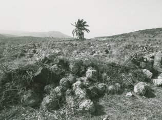
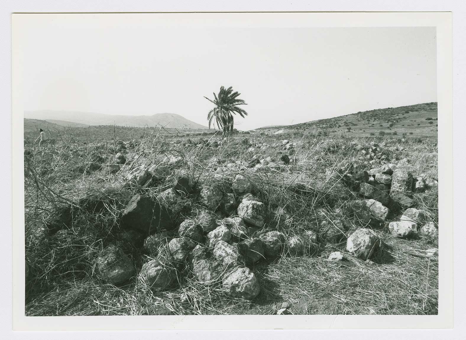
Stone rubble covers the entire site. There is one palm tree in the center and an olive grove on the edge (see photo). Part of the surrounding land is cultivated by Israelis, while the remainder is used as a grazing area. A canal that passes to the west is part of the Israeli National Water Carrier, the water project that carries water from Lake Tiberias to the central coastal plains.

